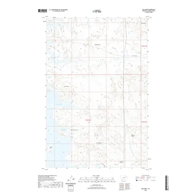
2020 Map of Bug Creek
USGS Topo · Published 2020About this map
Fort Peck Lake and its intricate northern shoreline dominate this McCone County landscape, where the Dry Arm creates a complex network of bays and inlets. The terrain is characterized by high-relief breaks and plateaus, most notably Lonnies Bench and the prominent Bonin Divide. This modern survey illustrates how water management and natural drainage patterns define the region, with Bug Creek Bay and Black Spring Coulee Bay carving deep into the prairie. Local land use is reflected in the network of secondary roads such as RD 218 and E Rock Creek Rd, which provide access across the coulees and passes. Names like Wild Horse Pass and Daniels Point hint at the storied transit and lookout points used by generations of ranchers and travelers moving through these breaks.
Find a feature on this map
28 named features on this map. Tap any name to fly to it.
Don’t see what you’re looking for? This feature index may not catch every label — zoom into the map to look around manually.
Map Details
Editions of this 2020 Bug Creek Map
This is the sole edition of this map. No revisions or reprints were ever made.
Other maps of this area

1954 · Jordan
USGS Topo · 1:250,000

1956 · Jordan
USGS Topo · 1:250,000

1958 · Jordan
USGS Topo · 1:250,000

1964 · Jordan
USGS Topo · 1:250,000

1972 · Short Creek
USGS Topo · 1:24,000
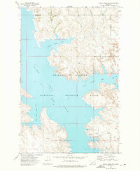
1972 · Spring Creek Bay
USGS Topo · 1:24,000

1972 · Ash Creek East
USGS Topo · 1:24,000

1973 · Crow Springs
USGS Topo · 1:24,000
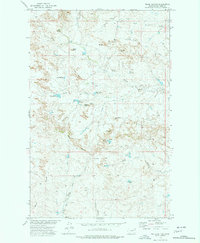
1973 · Willis Buttes
USGS Topo · 1:24,000
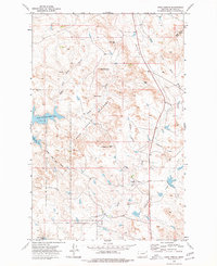
1973 · Sand Arroyo
USGS Topo · 1:24,000