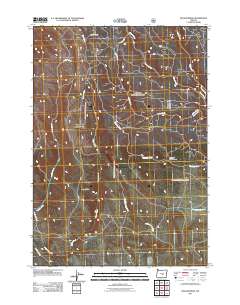
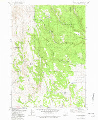
2011 Map of Bulger Ridge
USGS Topo · Published 2011About this map
Bulger Ridge dominates this high-desert landscape in Crook County, where a network of ephemeral watercourses and remote access roads defines the local geography. The map captures a high-plateau environment marked by significant drainage systems, including the southeast-flowing Chickahominy Creek and the canyon-carving waters of Ryegrass Creek. Of particular interest to local historians is Gibbons Mill Canyon, a named landmark that points to the area's historical land use and early industry. Primitive travel routes such as Buck Creek Rd and Mc Canlies Rd wind through the terrain, tracing the paths used for ranching and resource access. The concentration of named creeks like Morris Creek and Nicoll Creek in the northeast corner highlights the complex hydrology of this part of the Oregon interior during the early 21st century.
Find a feature on this map
13 named features on this map. Tap any name to fly to it.
Don’t see what you’re looking for? This feature index may not catch every label — zoom into the map to look around manually.
Map Details
Editions of this 2011 Bulger Ridge Map
This is the sole edition of this map. No revisions or reprints were ever made.
Other maps of this area

1955 · Burns
USGS Topo · 1:250,000

1958 · Burns
USGS Topo · 1:250,000

1959 · Burns
USGS Topo · 1:250,000

1961 · Delintment Lake
USGS Topo · 1:62,500

1981 · Hat Butte
USGS Topo · 1:24,000
1981 · Mackey Butte
USGS Topo · 1:24,000
1981 · Potato Hills
USGS Topo · 1:24,000
1981 · Dust Bowl
USGS Topo · 1:24,000
1981 · Bulger Ridge
USGS Topo · 1:24,000

1981 · Camp Currey Spring
USGS Topo · 1:24,000