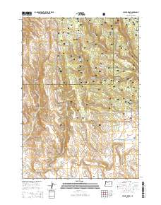
2014 Map of Bulger Ridge
USGS Topo · Published 2014About this map
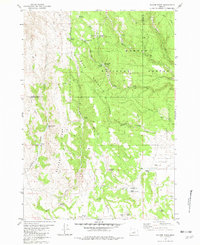
Ochoco National Forest spans the high-elevation divide where the border between Crook and Harney Counties follows the terrain. The landscape is defined by its water resources, with essential springs like Buck Mountain Spring and Spencers Waterhole providing vital points of interest for livestock and wildlife in this high desert environment. The presence of Swamp Creek Reservoir and the varied flats, including Ryegrass Flat and Mud Flat, illustrate the drainage patterns that feed into Chickahominy Creek and Bulger Creek.
Find a feature on this map
38 named features on this map. Tap any name to fly to it.
Don’t see what you’re looking for? This feature index may not catch every label — zoom into the map to look around manually.
Map Details
Editions of this 2014 Bulger Ridge Map
This is the sole edition of this map. No revisions or reprints were ever made.
Other maps of this area

1955 · Burns
USGS Topo · 1:250,000

1958 · Burns
USGS Topo · 1:250,000

1959 · Burns
USGS Topo · 1:250,000

1961 · Delintment Lake
USGS Topo · 1:62,500

1981 · Hat Butte
USGS Topo · 1:24,000
1981 · Mackey Butte
USGS Topo · 1:24,000
1981 · Potato Hills
USGS Topo · 1:24,000
1981 · Dust Bowl
USGS Topo · 1:24,000
1981 · Bulger Ridge
USGS Topo · 1:24,000

1981 · Camp Currey Spring
USGS Topo · 1:24,000