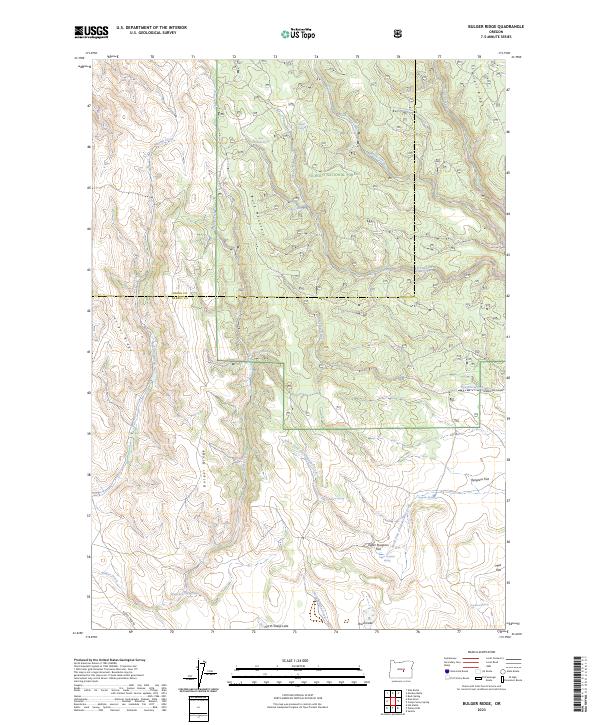
2023 Map of Bulger Ridge
USGS Topo · Published 2023About this map
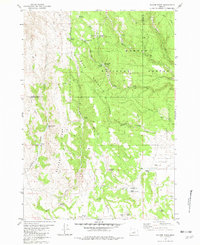
Ochoco National Forest dominates this landscape on the boundary of Crook and Harney counties, where high-desert ridges and intermittent water sources define the local geography. The area is characterized by significant topographical features such as Buck Mountain and Juniper Ridge, which rise above a network of seasonal drainages including Swamp Creek and Bulger Creek. Water is a critical and sparse resource here, marked by isolated points like Shangri-la Spring, Buck Mountain Spring, and the curiously named Spencers Waterhole in the southwest.
Find a feature on this map
33 named features on this map. Tap any name to fly to it.
Don’t see what you’re looking for? This feature index may not catch every label — zoom into the map to look around manually.
Map Details
Editions of this 2023 Bulger Ridge Map
This is the sole edition of this map. No revisions or reprints were ever made.
Other maps of this area

1955 · Burns
USGS Topo · 1:250,000

1958 · Burns
USGS Topo · 1:250,000

1959 · Burns
USGS Topo · 1:250,000

1961 · Delintment Lake
USGS Topo · 1:62,500

1981 · Hat Butte
USGS Topo · 1:24,000
1981 · Mackey Butte
USGS Topo · 1:24,000
1981 · Potato Hills
USGS Topo · 1:24,000
1981 · Dust Bowl
USGS Topo · 1:24,000
1981 · Bulger Ridge
USGS Topo · 1:24,000

1981 · Camp Currey Spring
USGS Topo · 1:24,000