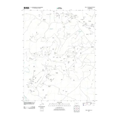
2011 Map of Bull Canyon
USGS Topo · Published 2011About this map
Monogram Mines and dozens of individual claims define this corner of Montrose County, revealing an intensive landscape of resource extraction within the high mesas. The terrain is characterized by massive landforms like Skein Mesa, Monogram Mesa, and Wild Steer Mesa, which are incised by the deep drainage of Bull Canyon. This survey illustrates a complex network of 4WD roads and trails linking remote mining camps like Bachelor Camp and Wedding Bell Camp to the various workings. In the northeast, the topography drops into the distinctive Paradox Valley, while the Dolores River cuts through the western edge. The density of named mines—ranging from the Wild Steer Mines to the San Pedro Mine—indicates a significant era of mineral exploration throughout the Radium Mountain area.
Find a feature on this map
151 named features on this map. Tap any name to fly to it.
Don’t see what you’re looking for? This feature index may not catch every label — zoom into the map to look around manually.
Map Details
Editions of this 2011 Bull Canyon Map
This is the sole edition of this map. No revisions or reprints were ever made.
Other maps of this area

1916 · Paradox Valley
USGS Topo · 1:125,000

1922 · Paradox Valley
USGS Topo · 1:125,000

1948 · Bull Canyon
USGS Topo · 1:24,000

1948 · Horse Range Mesa
USGS Topo · 1:24,000

1948 · Uravan
USGS Topo · 1:24,000

1948 · Hamm Canyon
USGS Topo · 1:24,000

1948 · Naturita NW
USGS Topo · 1:24,000

1948 · Paradox
USGS Topo · 1:24,000

1948 · Gypsum Gap
USGS Topo · 1:24,000

1949 · Bull Canyon
USGS Topo · 1:24,000