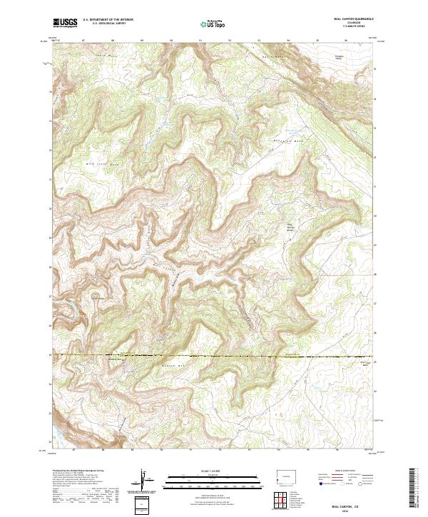
2022 Map of Bull Canyon
USGS Topo · Published 2022About this map
Wedding Bell Mtn and Radium Mtn anchor the high plateaus of the southwest Colorado landscape, marking a terrain defined by deep drainages and expansive mesas. The boundary between Montrose and San Miguel counties cuts across the lower half of the quadrangle, where Peters Knob rises above the junction of Bull Canyon and several winding draws. Water management is central to the area's development, evidenced by the Skein Mesa Reservoir and Monogram Mesa Reservoir, alongside scattered natural points like Calf Spring and Fawn Springs. The southern edge reveals the course of the Dolores River as it carves through the canyonlands. Historical access is traced through established routes like the Monogram Truck Rte and numerous county roads that cross the high country of Skein Mesa and Monogram Mesa, connecting the high benches to the Paradox Valley in the north.
Find a feature on this map
51 named features on this map. Tap any name to fly to it.
Don’t see what you’re looking for? This feature index may not catch every label — zoom into the map to look around manually.
Map Details
Editions of this 2022 Bull Canyon Map
This is the sole edition of this map. No revisions or reprints were ever made.
Other maps of this area

1916 · Paradox Valley
USGS Topo · 1:125,000

1922 · Paradox Valley
USGS Topo · 1:125,000

1948 · Bull Canyon
USGS Topo · 1:24,000

1948 · Horse Range Mesa
USGS Topo · 1:24,000

1948 · Uravan
USGS Topo · 1:24,000

1948 · Hamm Canyon
USGS Topo · 1:24,000

1948 · Naturita NW
USGS Topo · 1:24,000

1948 · Paradox
USGS Topo · 1:24,000

1948 · Gypsum Gap
USGS Topo · 1:24,000

1949 · Bull Canyon
USGS Topo · 1:24,000