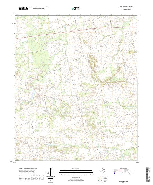
2022 Map of Bull Creek
USGS Topo · Published 2022About this map
Claytonville Cem sits at the heart of this Fisher County landscape, serving as a primary point of interest for genealogists and local historians tracking family roots in this rural pocket of West Texas. The terrain is defined by a dendritic network of drainages, most notably the Clear Fork Brazos River which cuts across the northwest corner of the sheet. Smaller waterways including Buffalo Cr, Bull Cr, and Cottonwood Cr carve through the land, illustrating the complex hydrology of the region.
Find a feature on this map
30 named features on this map. Tap any name to fly to it.
Don’t see what you’re looking for? This feature index may not catch every label — zoom into the map to look around manually.
Map Details
Editions of this 2022 Bull Creek Map
This is the sole edition of this map. No revisions or reprints were ever made.
Other maps of this area

1893 · Roby
USGS Topo · 1:125,000

1931 · Rotan
USGS Topo · 1:62,500

1932 · Camp Springs
USGS Topo · 1:62,500

1954 · Big Spring
USGS Topo · 1:250,000

1958 · Big Spring
USGS Topo · 1:250,000

1969 · Camp Springs
USGS Topo · 1:24,000

1969 · Rotan
USGS Topo · 1:24,000

1969 · Busby
USGS Topo · 1:24,000

1969 · Bull Creek
USGS Topo · 1:24,000

1969 · Inadale NW
USGS Topo · 1:24,000