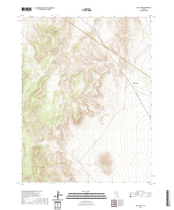
2021 Map of Bull Fork
USGS Topo · Published 2021About this map
Duckwater Peak dominates the northern reaches of this central Nevada landscape, where the high elevations of the Pancake Range cross the border between Nye and White Pine counties. This modern topographic study reveals a land shaped by isolated water sources like Butte Station Spring and Big Louie Spring, which are critical landmarks in this arid high-desert environment. The survey captures the complex drainage systems that define the area, including the namesake Bull Fork drainage and the steep slopes of Moody Mtn to the south.
Find a feature on this map
17 named features on this map. Tap any name to fly to it.
Don’t see what you’re looking for? This feature index may not catch every label — zoom into the map to look around manually.
Map Details
Editions of this 2021 Bull Fork Map
This is the sole edition of this map. No revisions or reprints were ever made.
Other maps of this area

1951 · Green Springs
USGS Topo · 1:62,500

1956 · Lund
USGS Topo · 1:250,000

1956 · Ely
USGS Topo · 1:250,000

1959 · Ely
USGS Topo · 1:250,000

1960 · Lund
USGS Topo · 1:250,000

1963 · Ely
USGS Topo · 1:250,000

1964 · Duckwater
USGS Topo · 1:62,500

1964 · Moody Peak
USGS Topo · 1:62,500

1968 · Brown Summit
USGS Topo · 1:24,000
1968 · Brown Summit NW
USGS Topo · 1:24,000