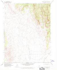
1968 Map of Brown Summit NW
USGS Topo · Published 1971About this map
Big Sand Springs Valley and the Little Smoky Valley dominate this Great Basin landscape, separated by the high elevations of the Pancake Range. The 1968 survey reveals a terrain defined by drainage patterns and alluvial fans, where the only signs of human movement are faint Jeep Trails cutting across the desert floor. In the eastern sector, Moody Mountain rises sharply, providing a dramatic backdrop to the Brown Summit Reservoir, which serves as a rare water feature in this arid Nye County environment. This map captures a moment in the late 1960s when the region remained largely untouched by major development, preserving the isolation and natural topography of central Nevada.
Find a feature on this map
6 named features on this map. Tap any name to fly to it.
Don’t see what you’re looking for? This feature index may not catch every label — zoom into the map to look around manually.
Map Details
Editions of this 1968 Brown Summit NW Map
2 editions found
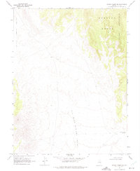
Other maps of this area

1926 · Roberts Mountains
USGS Topo · 1:250,000

1929 · Roberts Mountains
USGS Topo · 1:250,000

1955 · Millett
USGS Topo · 1:250,000

1956 · Cockalorum Wash
USGS Topo · 1:62,500

1956 · Lund
USGS Topo · 1:250,000

1956 · Ely
USGS Topo · 1:250,000

1956 · Tonopah
USGS Topo · 1:250,000

1959 · Ely
USGS Topo · 1:250,000

1959 · Tonopah
USGS Topo · 1:250,000

1959 · Millett
USGS Topo · 1:250,000