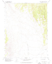
1968 Map of Brown Summit NW
USGS Topo · Published 1975About this map
Big Sand Springs Valley and the Little Smoky Valley dominate this Great Basin landscape, separated by the high elevations of the Pancake Range. Surveyed in the late 1960s, the map reveals a remote Nevada interior defined by vast alluvial basins and steep peaks such as Moody Mountain. Human presence is sparse, marked primarily by a network of unimproved roads and a Jeep Trail that climbs through the high country. In the southeast corner, the Brown Summit Reservoir stands as a vital water source in an otherwise arid environment. The map captures the area just after photogrammetric methods from 1967 aerial photography were used by the U.S. Geological Survey to document this isolated section of Nye County, illustrating the intersection of modern cartography and a rugged, undeveloped frontier.
Find a feature on this map
7 named features on this map. Tap any name to fly to it.
Don’t see what you’re looking for? This feature index may not catch every label — zoom into the map to look around manually.
Map Details
Editions of this 1968 Brown Summit NW Map
2 editions found
Other maps of this area

1926 · Roberts Mountains
USGS Topo · 1:250,000

1929 · Roberts Mountains
USGS Topo · 1:250,000

1955 · Millett
USGS Topo · 1:250,000

1956 · Cockalorum Wash
USGS Topo · 1:62,500

1956 · Lund
USGS Topo · 1:250,000

1956 · Ely
USGS Topo · 1:250,000

1956 · Tonopah
USGS Topo · 1:250,000

1959 · Ely
USGS Topo · 1:250,000

1959 · Tonopah
USGS Topo · 1:250,000

1959 · Millett
USGS Topo · 1:250,000