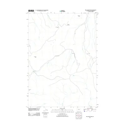
2012 Map of Bull Mountain
USGS Topo · Published 2012About this map
Justin McCarthy Ranch and David McCarthy Ranch are central to this high-desert ranching landscape in Wyoming’s Hot Springs County. The area is defined by its seasonal watercourses and prominent landforms, including the high summit of Bull Mountain and the broad expanse of Minnick Basin in the northeast. This 2012 survey illustrates the enduring patterns of remote western land use, where family-named properties like the Edwards Ranch, Cochran Ranch, and Gardner Ranch are situated along the drainage of Bridger Creek. In this arid environment, the proximity of these homesteads to ephemeral streams such as Nowater Creek and Lysite Creek underscores the critical importance of water rights and topographic position for livestock management. These named landmarks and peaks like Klondike Peak serve as vital navigational anchors in a region largely accessed via unpaved routes such as Lake Road and Bridger Creek Road.
Find a feature on this map
21 named features on this map. Tap any name to fly to it.
Don’t see what you’re looking for? This feature index may not catch every label — zoom into the map to look around manually.
Map Details
Editions of this 2012 Bull Mountain Map
This is the sole edition of this map. No revisions or reprints were ever made.
Other maps of this area

1952 · Cottonwood Pass
USGS Topo · 1:24,000

1952 · Rathbun Ranch
USGS Topo · 1:24,000

1952 · Arapahoe Butte
USGS Topo · 1:24,000

1952 · De Pass
USGS Topo · 1:24,000

1952 · Battle Mountain
USGS Topo · 1:24,000

1952 · Bull Mountain
USGS Topo · 1:24,000

1955 · Arminto
USGS Topo · 1:250,000

1957 · Rathbun Ranch
USGS Topo · 1:24,000

1958 · Arminto
USGS Topo · 1:250,000

1960 · Packsaddle Creek
USGS Topo · 1:24,000