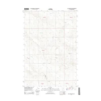
2014 Map of Bull Mountain NW
USGS Topo · Published 2014About this map
Castle Butte dominates the southern landscape of this Yellowstone County quadrangle, serving as a primary navigational landmark in a region defined by high ridges and deep drainage systems. The northern sections are carved by Antelope Cr and Mill Cr, while the southern half is shaped by the winding course of Hibbard Creek. This 2014 survey reveals a sparse network of ridgetop and valley roads, including Pineview Rd and Hibbard Creek Rd, which provide access to the area's isolated features. A focal point for local history is the Castle Butte Cem, situated on a high point overlooking the creek valleys. The map illustrates the classic Montana township and range survey system, showing how modern land management is overlaid across the natural relief of the Bull Mountain area.
Find a feature on this map
15 named features on this map. Tap any name to fly to it.
Don’t see what you’re looking for? This feature index may not catch every label — zoom into the map to look around manually.
Map Details
Editions of this 2014 Bull Mountain NW Map
This is the sole edition of this map. No revisions or reprints were ever made.
Other maps of this area

1954 · Forsyth
USGS Topo · 1:250,000

1954 · Roundup
USGS Topo · 1:250,000

1957 · Forsyth
USGS Topo · 1:250,000

1958 · Roundup
USGS Topo · 1:250,000

1958 · Forsyth
USGS Topo · 1:250,000
1967 · Big Marys Island
USGS Topo · 1:24,000
1967 · Bull Mountain
USGS Topo · 1:24,000

1979 · Roundup
USGS Topo · 1:100,000

1979 · Hysham
USGS Topo · 1:100,000

1980 · Mud Butte
USGS Topo · 1:24,000