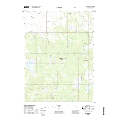
2018 Map of Bullard Lake
USGS Topo · Published 2018About this map
Lassen National Forest terrain dominates this survey of the High Sierra backcountry, where numerous high-altitude basins and troughs define the landscape. Water sources are frequent but localized, including the expansive Big Jack Lake and Bullard Lake, along with smaller seasonal catchments like Twin Lakes and Ashurst Lake. The map reveals a network of forest routes and spurs used for timber management and fire access, such as Lower Gooch Valley and the Board Cabin trail.
Find a feature on this map
43 named features on this map. Tap any name to fly to it.
Don’t see what you’re looking for? This feature index may not catch every label — zoom into the map to look around manually.
Map Details
Editions of this 2018 Bullard Lake Map
This is the sole edition of this map. No revisions or reprints were ever made.
Other maps of this area

1886 · Honey Lake
USGS Topo · 1:250,000

1886 · Lassen Peak
USGS Topo · 1:250,000

1891 · Honey Lake
USGS Topo · 1:250,000

1892 · Lassen Peak
USGS Topo · 1:250,000

1893 · Honey Lake
USGS Topo · 1:250,000

1894 · Lassen Peak
USGS Topo · 1:250,000

1939 · Halls Flat
USGS Topo · 1:125,000

1955 · Westwood
USGS Topo · 1:250,000

1956 · Hayden Hill
USGS Topo · 1:62,500

1956 · Harvey Mtn
USGS Topo · 1:62,500