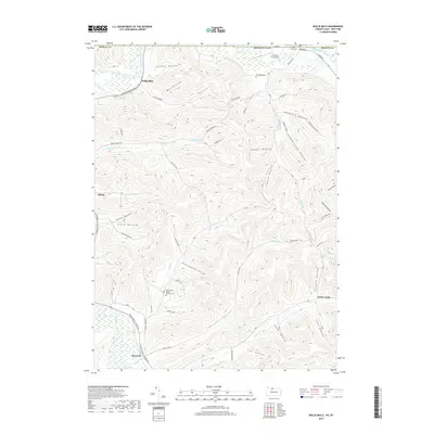
2019 Map of Bullis Mills
USGS Topo · Published 2019About this map
The Allegheny River and Oswayo Creek define the northern borderlands of Pennsylvania and New York in this detailed 2019 survey. The terrain is marked by a dense network of valleys, including Dutton Hollow, Slippery Elm Hollow, and Fitzsimmons Hollow, which historically dictated the placement of small communities and family farmsteads. Settlement is concentrated in small clusters such as Bullis Mills and Ceres, the latter of which sits directly on the state line. Genealogists will find significant value in the documentation of local burial grounds, including Evergreen Cem, Ceres Cem, and Saint Mary's Roman Catholic Cem. The landscape reflects a mix of traditional Appalachian rural life and modern additions like the Freefall Oz Airport, while watercourses like Newell Cr and Rock Run continue to carve the steep topography.
Find a feature on this map
57 named features on this map. Tap any name to fly to it.
Don’t see what you’re looking for? This feature index may not catch every label — zoom into the map to look around manually.
Map Details
Editions of this 2019 Bullis Mills Map
This is the sole edition of this map. No revisions or reprints were ever made.
Other maps of this area

1898 · Olean
USGS Topo · 1:62,500

1925 · Belmont
USGS Topo · 1:62,500

1933 · Smethport
USGS Topo · 1:62,500

1934 · Coudersport
USGS Topo · 1:48,000

1937 · Smethport
USGS Topo · 1:62,500

1938 · Coudersport
USGS Topo · 1:62,500

1938 · Olean
USGS Topo · 1:62,500

1939 · Belmont
USGS Topo · 1:62,500

1943 · Olean
USGS Topo · 1:62,500

1957 · Warren
USGS Topo · 1:250,000