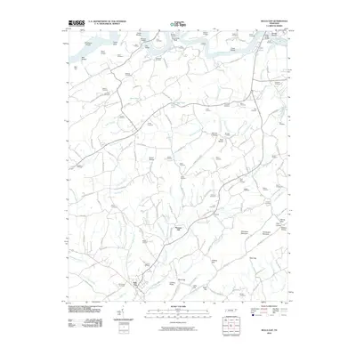
2010 Map of Bulls Gap
USGS Topo · Published 2010About this map
Bulls Gap and the surrounding Hawkins County landscape are defined by a complex network of ridges and water gaps that historically dictated travel and settlement in this portion of East Tennessee. The Holston River winds across the northern section, featuring several notable crossings and navigational hazards such as Cloud Shoals and Smiths Shoals. This 2010 survey details the transition from the river lowlands to the higher elevations of Sheepbed Mountain and Chinquapin Mountain to the southeast. Family history is deeply etched into the land, evidenced by an exceptional density of small burial grounds including the Whiteside Cemetery, Burdine Cemetery, and Phillips Cemetery. Small communities like Pleasant Hill and Summit serve as local anchors, while natural passages through the terrain, such as Guthrie Gap and Days Gap, continue to facilitate transit between the hollows. The presence of numerous small ponds, like Heck Pond and Mills Pond, alongside branches of Robertson Creek, illustrates the well-watered nature of these valley farms.
Find a feature on this map
155 named features on this map. Tap any name to fly to it.
Don’t see what you’re looking for? This feature index may not catch every label — zoom into the map to look around manually.
Map Details
Editions of this 2010 Bulls Gap Map
This is the sole edition of this map. No revisions or reprints were ever made.
Other maps of this area

1883 · Morristown
USGS Topo · 1:125,000

1892 · Greeneville
USGS Topo · 1:125,000

1893 · Morristown
USGS Topo · 1:125,000

1895 · Morristown
USGS Topo · 1:125,000

1896 · Greeneville
USGS Topo · 1:125,000

1904 · Greeneville
USGS Topo · 1:125,000

1935 · Surgoinsville
USGS Topo · 1:48,000

1935 · Rogersville
USGS Topo · 1:48,000

1935 · Lee Valley
USGS Topo · 1:24,000

1935 · McCloud
USGS Topo · 1:24,000