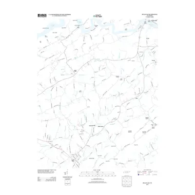
2013 Map of Bulls Gap
USGS Topo · Published 2013About this map
Bulls Gap serves as a central junction on this East Tennessee landscape, where the Norfolk Southern rail line passes through the gap between Leading Ridge and Sheepbed Mountain. This 2013 survey illustrates a region defined by its traditional rural settlements and the winding shoreline of Cherokee Lake to the north. Smaller communities like Saint Clair, White Horn, and Pleasant Hill are connected by a network of historic routes, including Stagecoach Rd and the Lee Valley Rd.
Find a feature on this map
199 named features on this map. Tap any name to fly to it.
Don’t see what you’re looking for? This feature index may not catch every label — zoom into the map to look around manually.
Map Details
Editions of this 2013 Bulls Gap Map
This is the sole edition of this map. No revisions or reprints were ever made.
Other maps of this area

1883 · Morristown
USGS Topo · 1:125,000

1892 · Greeneville
USGS Topo · 1:125,000

1893 · Morristown
USGS Topo · 1:125,000

1895 · Morristown
USGS Topo · 1:125,000

1896 · Greeneville
USGS Topo · 1:125,000

1904 · Greeneville
USGS Topo · 1:125,000

1935 · Surgoinsville
USGS Topo · 1:48,000

1935 · Rogersville
USGS Topo · 1:48,000

1935 · Lee Valley
USGS Topo · 1:24,000

1935 · McCloud
USGS Topo · 1:24,000