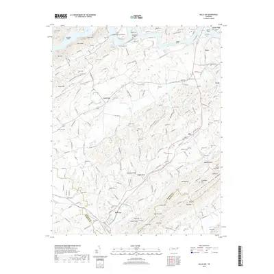
2019 Map of Bulls Gap
USGS Topo · Published 2019About this map
Bulls Gap serves as a central landmark where the modern rail corridor meets the winding terrain of southern Hawkins County. This 2019 survey illustrates a landscape deeply shaped by the Holston River, which carves around Horseshoe Bend and feeds into the waters of Cherokee Lake. The topographic detail reveals the complex relationship between human settlement and the geology of the Tennessee Valley, from the broad expanse of Grassy Valley to the steep ridges of Bays Mountain and Nenny Ridge. Scattered throughout the valleys are long-standing community focal points such as Morrisett Chapel, Mount Zion Church, and numerous family burial grounds including Whiteside Cem and Ed Berry Cem. The presence of Austins Mill near the northern boundary and the rail-oriented layout of Bulls Gap reflect the enduring agricultural and transportation patterns that have defined this region's economy for generations.
Find a feature on this map
221 named features on this map. Tap any name to fly to it.
Don’t see what you’re looking for? This feature index may not catch every label — zoom into the map to look around manually.
Map Details
Editions of this 2019 Bulls Gap Map
This is the sole edition of this map. No revisions or reprints were ever made.
Other maps of this area

1883 · Morristown
USGS Topo · 1:125,000

1892 · Greeneville
USGS Topo · 1:125,000

1893 · Morristown
USGS Topo · 1:125,000

1895 · Morristown
USGS Topo · 1:125,000

1896 · Greeneville
USGS Topo · 1:125,000

1904 · Greeneville
USGS Topo · 1:125,000

1935 · Surgoinsville
USGS Topo · 1:48,000

1935 · Rogersville
USGS Topo · 1:48,000

1935 · Lee Valley
USGS Topo · 1:24,000

1935 · McCloud
USGS Topo · 1:24,000