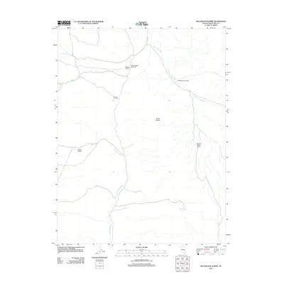
2012 Map of Bullwhack Summit
USGS Topo · Published 2012About this map
Steptoe Valley and the high desert terrain of White Pine County define this landscape, recorded here by the U.S. Geological Survey in the early 21st century. The map centers on the high points of Bullwhack Summit and Bullwhacker Summit, which overlook a network of seasonal watercourses and essential desert springs. Ranching history is suggested by names like Cattle Camp Wash and the nearby Basque Canyon, a likely nod to the region's sheep-herding heritage. Notable landmarks such as Mollys Nipples and Monument Canyon rise from the valley floor, while the presence of Robbers Roost Basin and Robbers Roost Spring hints at the area's frontier lore. Though mostly undeveloped, the quadrangle shows the path of Co RD 45, the primary transit artery through this portion of the Great Basin.
Find a feature on this map
14 named features on this map. Tap any name to fly to it.
Don’t see what you’re looking for? This feature index may not catch every label — zoom into the map to look around manually.
Map Details
Editions of this 2012 Bullwhack Summit Map
This is the sole edition of this map. No revisions or reprints were ever made.
Other maps of this area

1956 · Lund
USGS Topo · 1:250,000

1960 · Lund
USGS Topo · 1:250,000

1969 · Parker Station
USGS Topo · 1:24,000

1969 · Haggerty Spring
USGS Topo · 1:24,000
1973 · White Rock Creek
USGS Topo · 1:24,000

1973 · Cattle Camp Spring
USGS Topo · 1:24,000
1973 · Horse Camp Springs
USGS Topo · 1:24,000
1977 · Bullwhack Summit
USGS Topo · 1:24,000
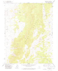
1977 · Brown Knoll
USGS Topo · 1:24,000
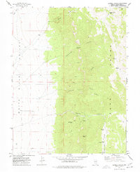
1977 · Sawmill Canyon
USGS Topo · 1:24,000