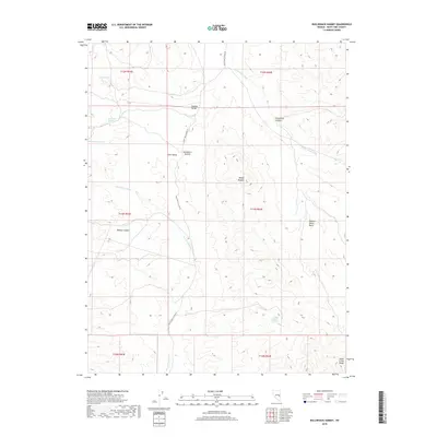
2018 Map of Bullwhack Summit
USGS Topo · Published 2018About this map
Bullwhack Summit serves as the high-elevation divide between two distinct basin systems in this modern survey of eastern Nevada. The landscape is defined by the sharp transition between the open Steptoe Valley and the more contained Cave Valley, connected by the winding route of White Pine Co Road 45. To the east, the terrain rises into the southern reaches of the Schell Creek Range, where dramatic landmarks like Mollys Nipples and Monument Canyon break the horizon.
Find a feature on this map
22 named features on this map. Tap any name to fly to it.
Don’t see what you’re looking for? This feature index may not catch every label — zoom into the map to look around manually.
Map Details
Editions of this 2018 Bullwhack Summit Map
This is the sole edition of this map. No revisions or reprints were ever made.
Other maps of this area

1956 · Lund
USGS Topo · 1:250,000

1960 · Lund
USGS Topo · 1:250,000

1969 · Parker Station
USGS Topo · 1:24,000

1969 · Haggerty Spring
USGS Topo · 1:24,000
1973 · White Rock Creek
USGS Topo · 1:24,000

1973 · Cattle Camp Spring
USGS Topo · 1:24,000
1973 · Horse Camp Springs
USGS Topo · 1:24,000
1977 · Bullwhack Summit
USGS Topo · 1:24,000
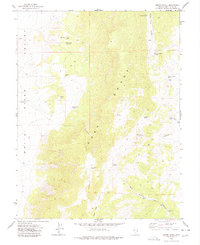
1977 · Brown Knoll
USGS Topo · 1:24,000
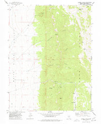
1977 · Sawmill Canyon
USGS Topo · 1:24,000