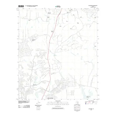
2010 Map of Bulverde
USGS Topo · Published 2010About this map
Specht Store and the town of Bulverde serve as the primary landmarks in this 2010 survey of the Hill Country north of San Antonio. The landscape is defined by the headwaters of several drainage systems, most notably Cibolo Creek and Elm Waterhole Creek. The area's genealogical depth is evident in the numerous small, family-named burial grounds dotting the hills, such as the Vogel Cemetery, Hitzfelder Cemetery, and Schlather Cemetery. These sites are interspersed among newer residential developments like Timberwood Park. The map also captures local aviation infrastructure at Bulverde Airpark and the Flying J Airport. Water management is prominent in the southern portion of the quadrangle, where the Soil Conservation Service Site 8 Dam and Soil Conservation Service Site 12 Dam are situated along the tributaries of Mustang Creek and Cibolo Creek.
Find a feature on this map
76 named features on this map. Tap any name to fly to it.
Don’t see what you’re looking for? This feature index may not catch every label — zoom into the map to look around manually.
Map Details
Editions of this 2010 Bulverde Map
This is the sole edition of this map. No revisions or reprints were ever made.
Other maps of this area

1920 · Smithsons Valley
USGS Topo · 1:62,500

1927 · Smithson Valley
USGS Topo · 1:62,500

1929 · Smithson Valley
USGS Topo · 1:62,500

1940 · Smithson Valley
USGS Topo · 1:62,500

1953 · Otis Ridge
USGS Topo · 1:24,000

1953 · Schertz
USGS Topo · 1:24,000

1953 · Bulverde
USGS Topo · 1:24,000

1953 · Bat Cave
USGS Topo · 1:24,000

1953 · Longhorn
USGS Topo · 1:24,000

1953 · Castle Hills
USGS Topo · 1:24,000