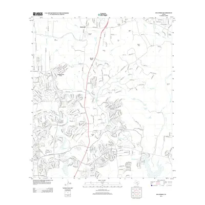
2013 Map of Bulverde
USGS Topo · Published 2013About this map
Cibolo Cr and its many tributaries, including Indian Cr and Elm Waterhole Cr, define the drainage patterns of this area north of San Antonio. This 2013 survey illustrates the modern residential expansion of communities like Bulverde and Timberwood Park, where winding suburban drives contrast with the older rural layout near Specht Store. Local genealogy is well-represented by numerous family burial grounds, such as Saint Pauls Cem, Schlather Cem, and Peña Cem, which are scattered throughout the landscape. The region's transition into a modern suburban-exurban corridor is further marked by infrastructure like the Bulverde Airpark and Flying J Airport, alongside major thoroughfares such as Bulverde Rd and Stone Oak Pkwy. High points like Vogels Peak and Classen Hill provide topographical context to this rapidly evolving Texas Hill Country landscape.
Find a feature on this map
42 named features on this map. Tap any name to fly to it.
Don’t see what you’re looking for? This feature index may not catch every label — zoom into the map to look around manually.
Map Details
Editions of this 2013 Bulverde Map
This is the sole edition of this map. No revisions or reprints were ever made.
Other maps of this area

1920 · Smithsons Valley
USGS Topo · 1:62,500

1927 · Smithson Valley
USGS Topo · 1:62,500

1929 · Smithson Valley
USGS Topo · 1:62,500

1940 · Smithson Valley
USGS Topo · 1:62,500

1953 · Otis Ridge
USGS Topo · 1:24,000

1953 · Schertz
USGS Topo · 1:24,000

1953 · Bulverde
USGS Topo · 1:24,000

1953 · Bat Cave
USGS Topo · 1:24,000

1953 · Longhorn
USGS Topo · 1:24,000

1953 · Castle Hills
USGS Topo · 1:24,000