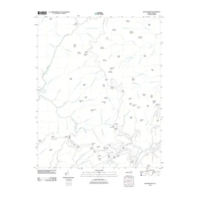
2010 Map of Bunches Bald
USGS Topo · Published 2010About this map
Big Cove serves as a primary point of interest in this high-altitude landscape within the Qualla Boundary, where the Blue Ridge Pkwy snakes across the ridges. The 2010 survey highlights a network of Bureau of Indian Affairs routes, including BIA Hwy 403 and BIA Hwy 407, which provide access to remote peaks and recreational sites like Round Bottom Campground and Balsam Mountain Campground. The engineering of the parkway is evident through structures such as the Big Witch Tunnel and the Lickstone Ridge Tunnel, alongside commemorative sites like the Masonic Monument. Local nomenclature is deeply tied to the terrain, featuring names like Heintooga Bald, Chiltoes Mountain, and the eponymous Bunches Bald. The drainage patterns of Jones Creek and Hyatt Creek define the western slopes, while the eastern reaches are marked by the steep descents toward Rough Fork and Caldwell Fork.
Find a feature on this map
145 named features on this map. Tap any name to fly to it.
Don’t see what you’re looking for? This feature index may not catch every label — zoom into the map to look around manually.
Map Details
Editions of this 2010 Bunches Bald Map
This is the sole edition of this map. No revisions or reprints were ever made.
Other maps of this area

1891 · Cowee
USGS Topo · 1:125,000

1893 · Mt Guyot
USGS Topo · 1:125,000

1897 · Cowee
USGS Topo · 1:125,000

1907 · Cowee
USGS Topo · 1:125,000

1912 · Mt Guyot
USGS Topo · 1:125,000

1933 · Bryson
USGS Topo · 1:62,500

1935 · Dellwood
USGS Topo · 1:24,000

1935 · Hazelwood
USGS Topo · 1:24,000

1935 · Addie
USGS Topo · 1:24,000

1936 · Bunches Bald
USGS Topo · 1:24,000