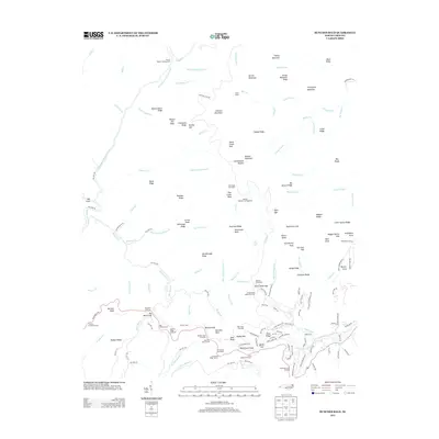
2013 Map of Bunches Bald
USGS Topo · Published 2013About this map
Balsam Mountain and the high ridges of the Great Smoky Mountains dominate this 2013 survey of the Big Cove area. The landscape is defined by the sharp verticality of features like Chiltoes Mountain, Prettyland Mountain, and Flat Creek Bald, which rise above the intricate drainage network of the Raven Fork and its numerous tributaries. Human activity is concentrated along the Blue Ridge Pkwy and National Park Rd, which provide access to high-altitude landmarks including the Heintooga Overlook and Polls Gap.
Find a feature on this map
174 named features on this map. Tap any name to fly to it.
Don’t see what you’re looking for? This feature index may not catch every label — zoom into the map to look around manually.
Map Details
Editions of this 2013 Bunches Bald Map
This is the sole edition of this map. No revisions or reprints were ever made.
Other maps of this area

1891 · Cowee
USGS Topo · 1:125,000

1893 · Mt Guyot
USGS Topo · 1:125,000

1897 · Cowee
USGS Topo · 1:125,000

1907 · Cowee
USGS Topo · 1:125,000

1912 · Mt Guyot
USGS Topo · 1:125,000

1933 · Bryson
USGS Topo · 1:62,500

1935 · Dellwood
USGS Topo · 1:24,000

1935 · Hazelwood
USGS Topo · 1:24,000

1935 · Addie
USGS Topo · 1:24,000

1936 · Bunches Bald
USGS Topo · 1:24,000