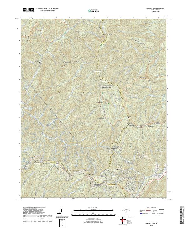
2022 Map of Bunches Bald
USGS Topo · Published 2022About this map
Great Smoky Mountains National Park dominates the high-elevation landscape of this region where Swain, Haywood, and Jackson Counties meet. The terrain is defined by massive ridges such as Hyatt Ridge, Cataloochee Divide, and Balsam Mtn, creating a complex network of deep drainages including Raven Fork and Caldwell Fork. The presence of the McGhee Cem offers a grounded connection to the early families of these highlands, now largely managed for conservation and recreation.
Find a feature on this map
150 named features on this map. Tap any name to fly to it.
Don’t see what you’re looking for? This feature index may not catch every label — zoom into the map to look around manually.
Map Details
Editions of this 2022 Bunches Bald Map
This is the sole edition of this map. No revisions or reprints were ever made.
Other maps of this area

1891 · Cowee
USGS Topo · 1:125,000

1893 · Mt Guyot
USGS Topo · 1:125,000

1897 · Cowee
USGS Topo · 1:125,000

1907 · Cowee
USGS Topo · 1:125,000

1912 · Mt Guyot
USGS Topo · 1:125,000

1933 · Bryson
USGS Topo · 1:62,500

1935 · Dellwood
USGS Topo · 1:24,000

1935 · Hazelwood
USGS Topo · 1:24,000

1935 · Addie
USGS Topo · 1:24,000

1936 · Bunches Bald
USGS Topo · 1:24,000