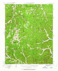
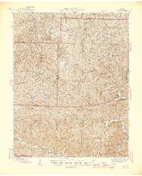
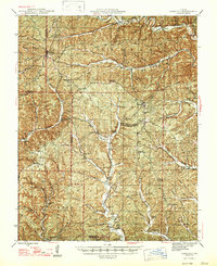
1967 Map of Bunker
USGS Topo · Published 1977About this map
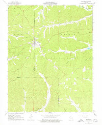
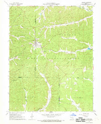
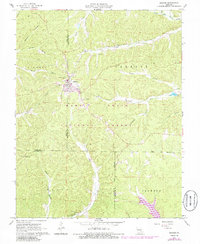
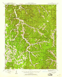
Bunker serves as the primary hub in this late-1960s survey of the Missouri Ozarks, situated at the intersection of Dent and Reynolds counties. The settlement is characterized by its organized grid and a Sewage Disposal Pond to the north, while the surrounding landscape is dominated by the Clark National Forest. The map reveals a deeply dissected terrain of hollows such as Ottawa Hollow, Roney Hollow, and Jayhawker Hollow, which feed into major waterways like the Sinking Creek and the West Fork Black River. Local social and family history is anchored by several rural landmarks, including Little Vine Ch, Christ the King Ch, and family burial sites like Parks Cem and Estep Cem. Geological interest is high in the southern reaches, where the survey records a Natural Bridge and Turner Cave near Big Creek, illustrating the karst topography of the region. The map also documents the Bunker Lookout Tower, a vital point for forest management and fire observation during this era.
Find a feature on this map
41 named features on this map. Tap any name to fly to it.
Don’t see what you’re looking for? This feature index may not catch every label — zoom into the map to look around manually.
Map Details
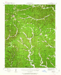
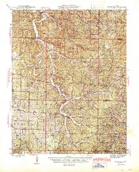
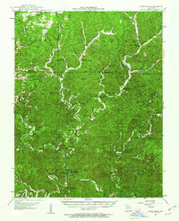
Editions of this 1967 Bunker Map
3 editions found
Other maps of this area
1941 · Stone Hill
USGS Topo · 1:62,500
1943 · Boss
USGS Topo · 1:62,500
1944 · Corridon
USGS Topo · 1:62,500
1945 · Stone Hill
USGS Topo · 1:62,500
1945 · Round Spring
USGS Topo · 1:62,500
1946 · Boss
USGS Topo · 1:62,500

1947 · Sinkin
USGS Topo · 1:48,000
1947 · Corridon
USGS Topo · 1:62,500

1949 · Round Spring
USGS Topo · 1:62,500

1949 · Rolla
USGS Topo · 1:250,000