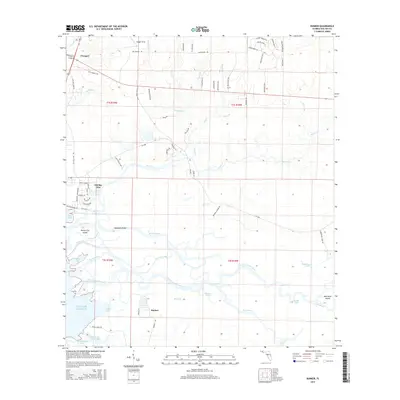
2015 Map of Bunker
USGS Topo · Published 2015About this map
Freeport sits at the northern edge of this coastal landscape, where the land transitions into the intricate delta of the Choctawhatchee River. This 2015 survey details a complex network of wetlands and riverine features including Mitchell River, Indian River, and the Live Oak Cutoff. The southern portion is dominated by the river's winding path as it approaches the bay, forming distinctive landmasses like Opossum Island, Nancys Cut Island, and East River Island.
Find a feature on this map
87 named features on this map. Tap any name to fly to it.
Don’t see what you’re looking for? This feature index may not catch every label — zoom into the map to look around manually.
Map Details
Editions of this 2015 Bunker Map
This is the sole edition of this map. No revisions or reprints were ever made.
Other maps of this area

1935 · De Funiak Springs
USGS Topo · 1:48,000

1936 · Point Washington
USGS Topo · 1:48,000

1938 · De Funiak Springs
USGS Topo · 1:62,500

1939 · Point Washington
USGS Topo · 1:62,500

1943 · Seminole Hills
USGS Topo · 1:24,000

1944 · Seminole Hills
USGS Topo · 1:31,680

1944 · Bruce
USGS Topo · 1:24,000

1945 · Bruce
USGS Topo · 1:31,680

1949 · Redbay
USGS Topo · 1:24,000

1950 · Redbay
USGS Topo · 1:24,000