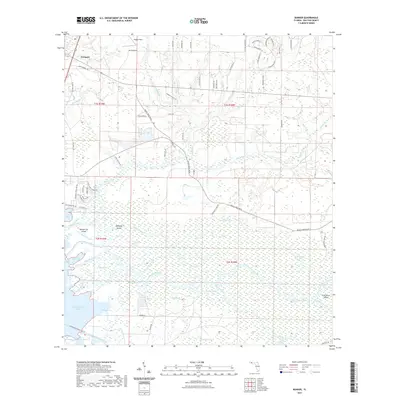
2021 Map of Bunker
USGS Topo · Published 2021About this map
Freeport serves as the primary upland settlement in this Walton County landscape, where the northern residential streets give way to an expansive network of wetlands and river systems. The southern portion of the map is dominated by the complex delta of the Choctawhatchee River, featuring a labyrinth of named islands such as Opossum Island, Indian Island, and Bunker Island. This watery terrain is further defined by the Intracoastal Waterway and the wide expanse of Bunker Cove leading into Choctawhatchee Bay.
Find a feature on this map
85 named features on this map. Tap any name to fly to it.
Don’t see what you’re looking for? This feature index may not catch every label — zoom into the map to look around manually.
Map Details
Editions of this 2021 Bunker Map
This is the sole edition of this map. No revisions or reprints were ever made.
Other maps of this area

1935 · De Funiak Springs
USGS Topo · 1:48,000

1936 · Point Washington
USGS Topo · 1:48,000

1938 · De Funiak Springs
USGS Topo · 1:62,500

1939 · Point Washington
USGS Topo · 1:62,500

1943 · Seminole Hills
USGS Topo · 1:24,000

1944 · Seminole Hills
USGS Topo · 1:31,680

1944 · Bruce
USGS Topo · 1:24,000

1945 · Bruce
USGS Topo · 1:31,680

1949 · Redbay
USGS Topo · 1:24,000

1950 · Redbay
USGS Topo · 1:24,000