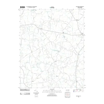
2010 Map of Bunn West
USGS Topo · Published 2010About this map
Moccasin Creek and Crooked Creek carve a winding drainage pattern through this section of Franklin County, defining a landscape of small agricultural settlements and rural crossroads. The town of Bunn sits on the eastern edge of the survey, while older community hubs like New Hope, Pearces, and Halls Crossroads anchor the surrounding countryside. This 2010 data provides a clear look at the intersection of long-established farm roads and more modern thoroughfares such as NC 1707 and Highway 98.
Find a feature on this map
84 named features on this map. Tap any name to fly to it.
Don’t see what you’re looking for? This feature index may not catch every label — zoom into the map to look around manually.
Map Details
Editions of this 2010 Bunn West Map
This is the sole edition of this map. No revisions or reprints were ever made.
Other maps of this area

1902 · Spring Hope
USGS Topo · 1:62,500

1904 · Springhope
USGS Topo · 1:62,500

1953 · Raleigh
USGS Topo · 1:250,000

1953 · Greensboro
USGS Topo · 1:250,000

1954 · Greensboro
USGS Topo · 1:250,000

1954 · Raleigh
USGS Topo · 1:250,000

1962 · Greensboro
USGS Topo · 1:250,000

1966 · Greensboro
USGS Topo · 1:250,000

1967 · Knightdale
USGS Topo · 1:24,000
1967 · Rolesville
USGS Topo · 1:24,000