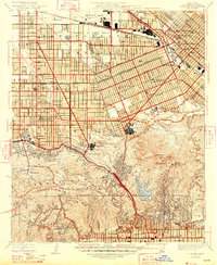
1948 Map of Burbank
USGS Topo · Published 1948About this map
Universal Studio and Walt Disney Studio anchor the landscape of the late 1940s, marking the post-war height of the motion picture industry in the San Fernando Valley. The map details a dense grid of residential expansion between North Hollywood and Burbank, where transit lines like the Southern Pacific and major thoroughfares such as Victory Blvd and Ventura Blvd defined the region's rapid suburbanization.
Find a feature on this map
57 named features on this map. Tap any name to fly to it.
Don’t see what you’re looking for? This feature index may not catch every label — zoom into the map to look around manually.
Map Details
Editions of this 1948 Burbank Map
This is the sole edition of this map. No revisions or reprints were ever made.
Other maps of this area

1894 · Los Angeles
USGS Topo · 1:62,500

1896 · Santa Monica
USGS Topo · 1:62,500

1898 · Santa Monica
USGS Topo · 1:62,500

1900 · Los Angeles
USGS Topo · 1:62,500

1901 · Southern California Sheet No. 1
USGS Topo · 1:250,000

1902 · Santa Monica
USGS Topo · 1:62,500

1904 · Southern California Sheet No. 1
USGS Topo · 1:250,000

1920 · Santa Monica
USGS Topo · 1:62,500
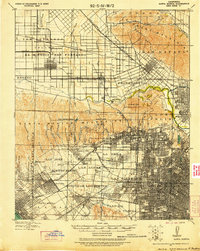
1921 · Santa Monica
USGS Topo · 1:62,500
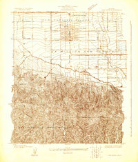
1924 · Van Nuys
USGS Topo · 1:24,000