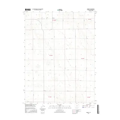
2016 Map of Burdett
USGS Topo · Published 2016About this map
Burdett occupies the northern reaches of this high plains landscape in Washington County, where the dry terrain is defined by a grid of agricultural section roads and the winding path of Rock Cr. This 2016 survey illustrates the sparse, rural nature of the region, emphasizing the isolation of small communities and the preservation of local history through its burial grounds. Researchers can identify the locations of Burdett Cem and Hope Cem, which serve as primary landmarks in an area dominated by large-scale farming and section boundaries. The map's detailed topography and hydrography document the subtle drainage patterns that have influenced settlement and land use across the townships of T5N, T4N, and T3N.
Find a feature on this map
24 named features on this map. Tap any name to fly to it.
Don’t see what you’re looking for? This feature index may not catch every label — zoom into the map to look around manually.
Map Details
Editions of this 2016 Burdett Map
This is the sole edition of this map. No revisions or reprints were ever made.
Other maps of this area

1954 · Sterling
USGS Topo · 1:250,000

1958 · Sterling
USGS Topo · 1:250,000

1972 · New Haven
USGS Topo · 1:24,000

1972 · Glacken Hill
USGS Topo · 1:24,000

1972 · Otis
USGS Topo · 1:24,000

1972 · Hyde
USGS Topo · 1:24,000

1972 · Lone Star
USGS Topo · 1:24,000

1972 · Burdett
USGS Topo · 1:24,000

1973 · Platner
USGS Topo · 1:24,000

1973 · Buffalo Springs Ranch NE
USGS Topo · 1:24,000