2023 Map of Burgettstown
USGS Topo · Published 2023About this map
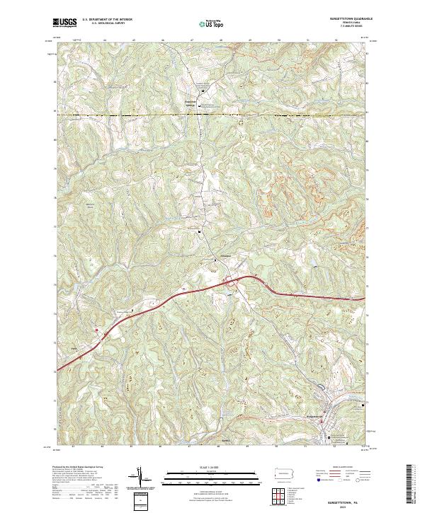
Frankfort Springs and the surrounding borderlands of Beaver and Washington Counties define this portion of the Pennsylvania countryside. The map traces a landscape deeply tied to its rural roots and industrial transitions, featuring the Dinsmore Reservoir and the expansive Hillman State Park. Throughout the hills, numerous historic burial grounds such as the Old Burgettstown Presbyterian Graveyard and Chestnut Ridge Cem offer vital clues for genealogists tracking early settlers in the region. The drainage patterns of Aunt Clara Fork and Harmon Creek carve through the terrain, while the road network connects small centers like Florence and Paris. In the southeast, the borough of Burgettstown stands as a primary hub, with local landmarks including Our Lady of Lourdes Cem and the Westminster Presbyterian Cem anchoring the community's history. These features, along with names like Warriors Point, reflect the complex heritage of this western Pennsylvania corridor.
Find a feature on this map
97 named features on this map. Tap any name to fly to it.
Don’t see what you’re looking for? This feature index may not catch every label — zoom into the map to look around manually.
Map Details
Editions of this 2023 Burgettstown Map
This is the sole edition of this map. No revisions or reprints were ever made.
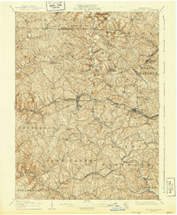
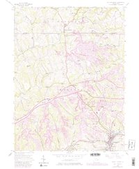
Historical Maps of Florence Through Time
4 maps found

Featured Locations
- Jefferson Township, PA
- Burgettstown, PA
- Frankfort Springs, PA
- Florence, Hanover Township
- Bertha, Smith Township