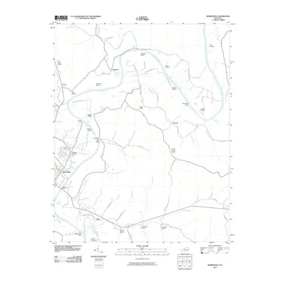
2010 Map of Burkesville
USGS Topo · Published 2010About this map
The Cumberland River carves a winding path through this region, shaping the local geography around distinctive bottomlands and ridges. The county seat of Burkesville serves as the primary hub, where the Burkesville Bridge crosses the river and the Burkesville Cemetery marks the community's long-standing presence. Smaller outlying settlements such as Dougan Town, Bakerton, and Claywell are scattered across the landscape, connected by a network of rural roads like Bakerton Ferry Rd and Scotts Bottom Rd.
Find a feature on this map
68 named features on this map. Tap any name to fly to it.
Don’t see what you’re looking for? This feature index may not catch every label — zoom into the map to look around manually.
Map Details
Editions of this 2010 Burkesville Map
This is the sole edition of this map. No revisions or reprints were ever made.
Other maps of this area

1924 · Lillydale
USGS Topo · 1:62,500

1926 · Lillydale
USGS Topo · 1:62,500

1929 · Lillydale
USGS Topo · 1:62,500

1929 · Byrdstown
USGS Topo · 1:62,500

1953 · Breeding
USGS Topo · 1:24,000

1953 · Waterview
USGS Topo · 1:24,000

1953 · Amandaville
USGS Topo · 1:24,000

1953 · Burkesville
USGS Topo · 1:24,000

1953 · Wolf Creek Dam
USGS Topo · 1:24,000

1953 · Creelsboro
USGS Topo · 1:24,000