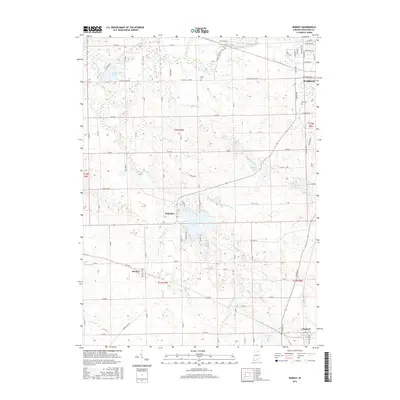
2016 Map of Burket
USGS Topo · Published 2016About this map
Palestine Lake and the Tippecanoe River define this corner of Kosciusko County, where the landscape is marked by a complex network of agricultural drainage ditches and small glacial basins. The settlement of Palestine sits at the northern tip of its namesake lake, while the village of Burket and the town of Claypool anchor the southern portion of the sheet. This 2016 survey captures the rural character of the region, emphasizing the importance of local water management through named features like Magee Ditch, Pyle Ditch, and Sellers Ditch. Local history is preserved at Union Cem and Nye Cem, which serve as quiet landmarks among the section-line roads. The area's northern edge touches the outskirts of Warsaw, showing the transition from agricultural tracts to the residential development along W Winona Ave.
Find a feature on this map
58 named features on this map. Tap any name to fly to it.
Don’t see what you’re looking for? This feature index may not catch every label — zoom into the map to look around manually.
Map Details
Editions of this 2016 Burket Map
This is the sole edition of this map. No revisions or reprints were ever made.
Other maps of this area

1950 · Leesburg
USGS Topo · 1:24,000

1953 · Fort Wayne
USGS Topo · 1:250,000

1953 · Chicago
USGS Topo · 1:250,000

1956 · Fort Wayne
USGS Topo · 1:250,000

1957 · Chicago
USGS Topo · 1:250,000

1957 · Warsaw
USGS Topo · 1:24,000

1958 · Bourbon
USGS Topo · 1:24,000

1959 · Atwood
USGS Topo · 1:24,000

1959 · Mentone
USGS Topo · 1:24,000

1961 · Silver Lake
USGS Topo · 1:24,000