
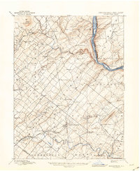
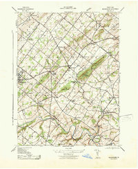
1904 Map of Burlington
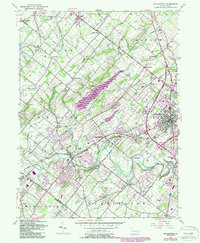
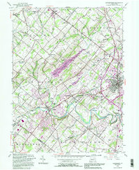
USGS Topo · Published 1958About this map
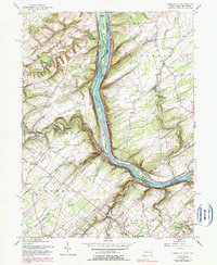
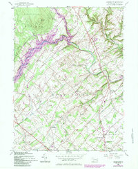
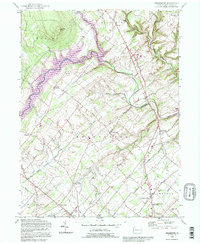
The Delaware River serves as the central artery for this industrial and agricultural landscape at the turn of the century, dividing the bustling townships of Bucks Co and Burlington Co. Steamboat travel and river commerce are evident through established riverfront sites like Tullytown Wharf and Andalusia Wharf, while the interior is a dense web of competing rail lines. The Pennsylvania RR and the Trenton Cut-Off RR crisscross the terrain, connecting established settlements like Yardley, Morrisville, and Langhorne.
Find a feature on this map
129 named features on this map. Tap any name to fly to it.
Don’t see what you’re looking for? This feature index may not catch every label — zoom into the map to look around manually.
Map Details
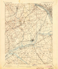
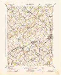
Editions of this 1904 Burlington Map
This is the sole edition of this map. No revisions or reprints were ever made.
Historical Maps of Central West Through Time
26 maps found

1890 Burlington
Bucks County, PA

1890 Doylestown
Bucks County, PA
1891 Doylestown
Bucks County, PA
1893 Burlington
Bucks County, PA
1904 Burlington
Bucks County, PA
1906 Burlington
Bucks County, PA

1942 Burlington
Bucks County, PA
1943 Bedminster
Bucks County, PA
1943 Buckingham
Bucks County, PA
1943 Doylestown
Bucks County, PA

1943 Point Pleasant
Bucks County, PA
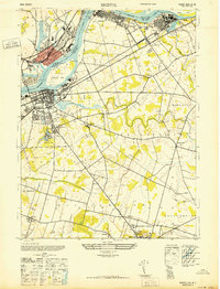
1947 Bristol
Bucks County, PA
1953 Buckingham
Bucks County, PA
1953 Doylestown
Bucks County, PA
1955 Lumberville
Bucks County, PA
1957 Bedminster
Bucks County, PA
1992 Bedminster
Bucks County, PA
1992 Doylestown
Bucks County, PA
1997 Lumberville
Bucks County, PA
1999 Buckingham
Bucks County, PA
1999 Doylestown
Bucks County, PA
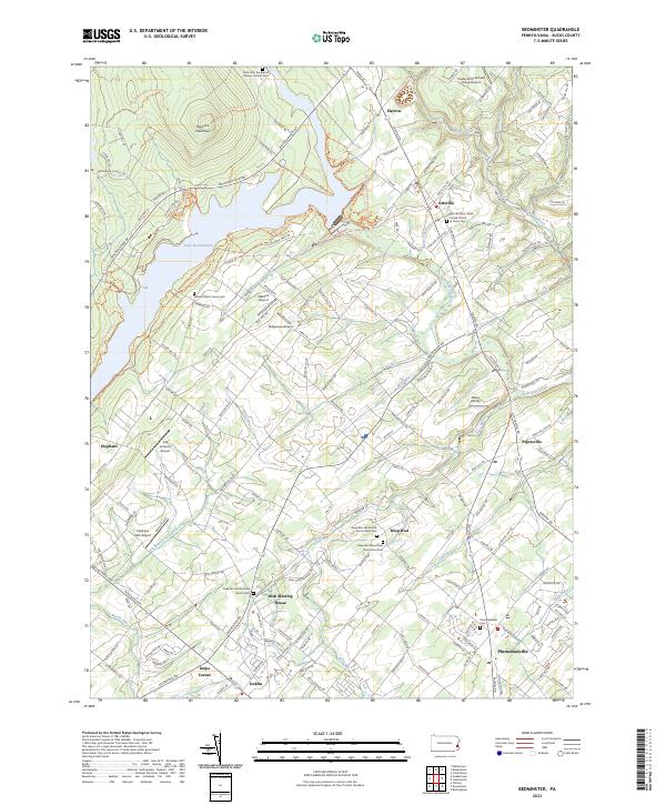
2023 Bedminster
Bucks County, PA
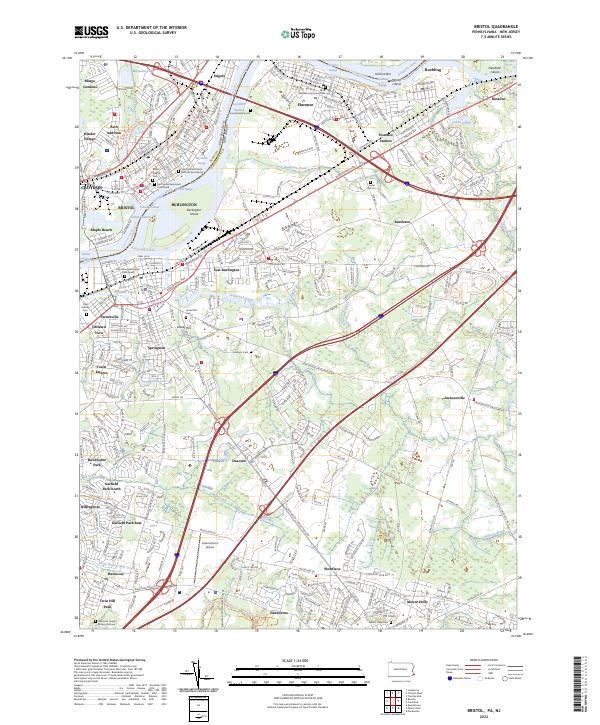
2023 Bristol
Bucks County, PA
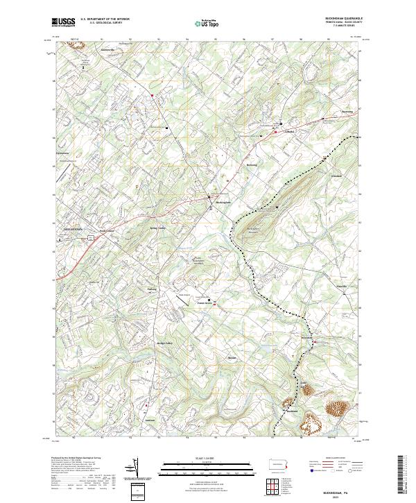
2023 Buckingham
Bucks County, PA
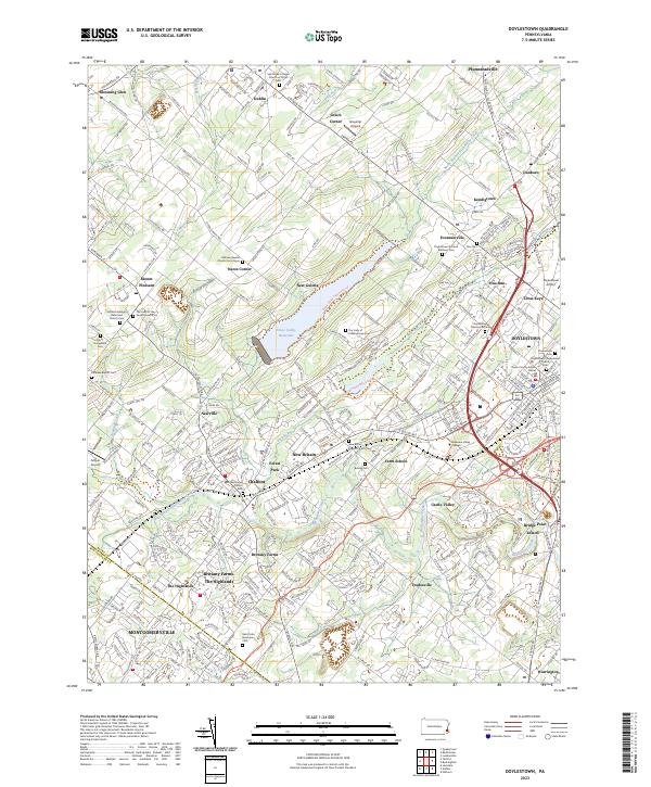
2023 Doylestown
Bucks County, PA
2023 Lumberville
Bucks County, PA