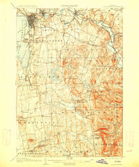
1906 Map of Burlington
USGS Topo · Published 1914About this map
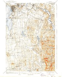
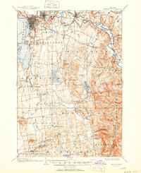
Burlington dominates the waterfront of Lake Champlain in this early twentieth-century survey, revealing a landscape defined by industrial growth and academic establishment. The University of Vermont is clearly delineated on the hill, while the city's cemeteries, Lakeview Cemetery and Greenmount Cemetery, sit on the periphery of the urban grid. To the north, a Limekiln along the Winooski River points to the area's local extraction economy near the falls at Winooski.
Find a feature on this map
79 named features on this map. Tap any name to fly to it.
Don’t see what you’re looking for? This feature index may not catch every label — zoom into the map to look around manually.
Map Details
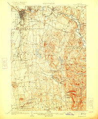
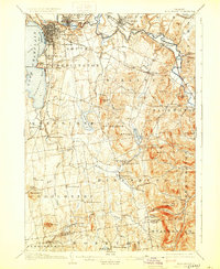
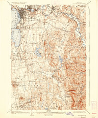
Editions of this 1906 Burlington Map
7 editions found
Other maps of this area

1894 · Port Henry
USGS Topo · 1:62,500

1894 · Plattsburg
USGS Topo · 1:62,500

1895 · Willsboro
USGS Topo · 1:62,500

1898 · Port Henry
USGS Topo · 1:62,500

1903 · Middlebury
USGS Topo · 1:62,500

1905 · Middlebury
USGS Topo · 1:62,500

1906 · Plattsburg
USGS Topo · 1:62,500

1906 · Burlington
USGS Topo · 1:62,500

1913 · Milton
USGS Topo · 1:48,000

1915 · Milton
USGS Topo · 1:62,500