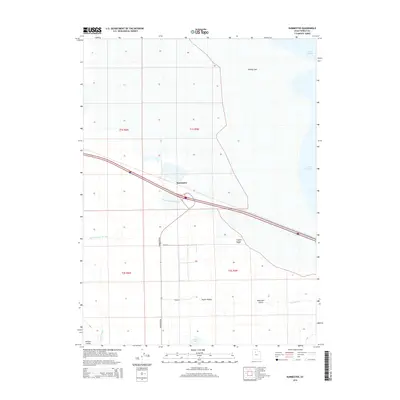
2014 Map of Burmester
USGS Topo · Published 2014About this map
Great Salt Lake dominates the northern horizon of this landscape, where the terrestrial features of Tooele Valley meet the vast saline flats. The settlement of Burmester serves as a focal point along the transport corridor, positioned near the intricate hydrologic network of Warm Springs Slough. This area is characterized by a mix of wetlands and arid landforms, including the prominent Eardley Spit reaching into the lake and the low rises of Coyote Knolls. Further south, the terrain transitions into the more defined drainage of Dead Man Gulch and the productive reaches of Willow Fields. Local geography is anchored by rural routes like Burmester Rd and Riddle St, which provide access to scattered water features such as Blue Lakes and Cooleys Slough.
Find a feature on this map
18 named features on this map. Tap any name to fly to it.
Don’t see what you’re looking for? This feature index may not catch every label — zoom into the map to look around manually.
Map Details
Editions of this 2014 Burmester Map
This is the sole edition of this map. No revisions or reprints were ever made.
Other maps of this area

1885 · Tooele Valley
USGS Topo · 1:250,000

1953 · Tooele
USGS Topo · 1:250,000

1955 · Timpie
USGS Topo · 1:62,500

1955 · Mills Junction
USGS Topo · 1:24,000

1955 · Burmester
USGS Topo · 1:24,000

1955 · Grantsville
USGS Topo · 1:24,000

1955 · Tooele
USGS Topo · 1:250,000

1955 · Tooele
USGS Topo · 1:24,000

1968 · Plug Peak SE
USGS Topo · 1:24,000

1968 · Corral Canyon
USGS Topo · 1:24,000