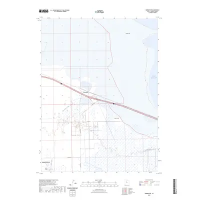
2023 Map of Burmester
USGS Topo · Published 2023About this map
Great Salt Lake dominates the northeastern edge of this landscape, where the waters meet the Eardley Spit along a shifting shoreline. This Tooele County corridor is defined by the transition from the open waters of the lake to the marshy lowlands of the Tooele Valley. The settlement of Burmester serves as a central point along the transportation routes that bisect the wetlands, including the expansive Warm Springs Slough and Cooleys Slough.
Find a feature on this map
13 named features on this map. Tap any name to fly to it.
Don’t see what you’re looking for? This feature index may not catch every label — zoom into the map to look around manually.
Map Details
Editions of this 2023 Burmester Map
This is the sole edition of this map. No revisions or reprints were ever made.
Other maps of this area

1885 · Tooele Valley
USGS Topo · 1:250,000

1953 · Tooele
USGS Topo · 1:250,000

1955 · Timpie
USGS Topo · 1:62,500

1955 · Mills Junction
USGS Topo · 1:24,000

1955 · Burmester
USGS Topo · 1:24,000

1955 · Grantsville
USGS Topo · 1:24,000

1955 · Tooele
USGS Topo · 1:250,000

1955 · Tooele
USGS Topo · 1:24,000

1968 · Plug Peak SE
USGS Topo · 1:24,000

1968 · Corral Canyon
USGS Topo · 1:24,000