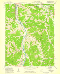
1957 Map of Burnaugh
USGS Topo · Published 1959About this map
The Big Sandy River serves as the dividing line between Boyd County, Kentucky, and Wayne County, West Virginia, in this late 1950s survey. This corridor is a critical transportation artery, where the Chesapeake and Ohio and Norfolk and Western railroads track the river's winding course. The map reveals a landscape balancing industrial infrastructure, such as the Tri-State Airport and numerous pipelines, with deep-rooted rural communities.
Find a feature on this map
71 named features on this map. Tap any name to fly to it.
Don’t see what you’re looking for? This feature index may not catch every label — zoom into the map to look around manually.
Map Details
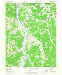
Editions of this 1957 Burnaugh Map
2 editions found
Other maps of this area

1892 · Huntington
USGS Topo · 1:125,000

1898 · Huntington
USGS Topo · 1:125,000

1901 · Guyandot
USGS Topo · 1:62,500

1901 · Ceredo
USGS Topo · 1:62,500

1902 · Guyandot
USGS Topo · 1:62,500

1903 · Kenova
USGS Topo · 1:125,000

1904 · Kenova
USGS Topo · 1:125,000

1909 · Wayne
USGS Topo · 1:62,500

1911 · Louisa
USGS Topo · 1:48,000

1913 · Ceredo
USGS Topo · 1:62,500