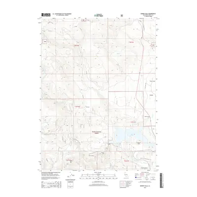
2015 Map of Burney Falls
USGS Topo · Published 2015About this map
Lake Britton and the lower Pit River dominate this portion of eastern Shasta County, where water resources meet the timberlands of the Shasta National Forest. The map documents a rugged landscape punctuated by small settlements and topographic flats like Cayton, Bird Flat, and Camp Nine Flat. Significant for its cultural and recreational markers, the sheet shows the Pacific Crest National Scenic Trail winding through the terrain, passing landmarks such as Delucci Ridge and the Powder Spur.
Find a feature on this map
34 named features on this map. Tap any name to fly to it.
Don’t see what you’re looking for? This feature index may not catch every label — zoom into the map to look around manually.
Map Details
Editions of this 2015 Burney Falls Map
This is the sole edition of this map. No revisions or reprints were ever made.
Other maps of this area

1886 · Lassen Peak
USGS Topo · 1:250,000

1886 · Modoc Lava Bed
USGS Topo · 1:250,000

1892 · Modoc Lava-Bed
USGS Topo · 1:250,000

1892 · Lassen Peak
USGS Topo · 1:250,000

1894 · Lassen Peak
USGS Topo · 1:250,000

1932 · Bartle
USGS Topo · 1:96,000

1935 · Burney
USGS Topo · 1:96,000

1939 · Burney
USGS Topo · 1:125,000

1939 · Bartle
USGS Topo · 1:125,000

1954 · Alturas
USGS Topo · 1:250,000