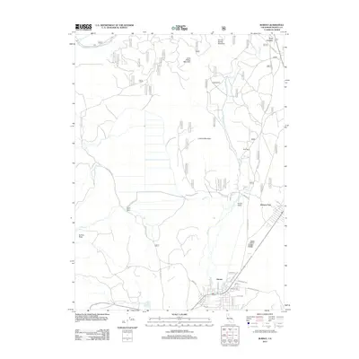
2012 Map of Burney
USGS Topo · Published 2012About this map
Burney serves as the primary hub in this corner of Shasta County, situated where the high desert meets the forested slopes of the southern Cascades. The settlement pattern is defined by the valley floors, with concentrated residential development in town and at Johnson Park, contrasting with the more isolated Black Ranch and Goose Valley Ranch to the west. Burney Cr flows northward through the heart of the community, eventually joining the Pit River at the northern edge of the map. The landscape is structured by significant terrain features, including Lookout Mountain and Burney Spring Mountain, which oversee a network of forest routes and ranch roads. Genealogists and local historians can locate the Burney Cem south of the main town center, near the intersection of Cornaz Dr and Sugar Pine St. The map details the transition from the irrigated pastures of Goose Valley to the heavily timbered tracts managed by the Forest Service.
Find a feature on this map
63 named features on this map. Tap any name to fly to it.
Don’t see what you’re looking for? This feature index may not catch every label — zoom into the map to look around manually.
Map Details
Editions of this 2012 Burney Map
This is the sole edition of this map. No revisions or reprints were ever made.
Other maps of this area
1886 · Lassen Peak
USGS Topo · 1:250,000
1886 · Modoc Lava Bed
USGS Topo · 1:250,000
1892 · Modoc Lava-Bed
USGS Topo · 1:250,000
1892 · Lassen Peak
USGS Topo · 1:250,000
1894 · Lassen Peak
USGS Topo · 1:250,000
1932 · Bartle
USGS Topo · 1:96,000
1935 · Burney
USGS Topo · 1:96,000
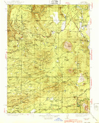
1939 · Burney
USGS Topo · 1:125,000
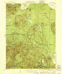
1939 · Bartle
USGS Topo · 1:125,000
1954 · Alturas
USGS Topo · 1:250,000