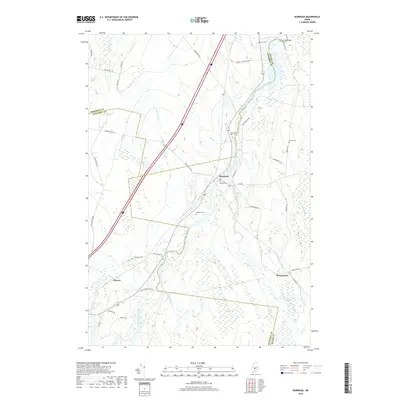
2018 Map of Burnham
USGS Topo · Published 2018About this map
The Sebasticook River serves as the central artery for this central Maine landscape, where the town of Burnham sits at a historic crossroads. The map illustrates a patchwork of agricultural clearings and wetlands, with the river's winding path mirrored by the Twentymile Stream to the southeast. Genealogists will find a high density of small family burial grounds, including the Village Cem and Mudgett Cem, which anchor the early settlement history of this rural region.
Find a feature on this map
40 named features on this map. Tap any name to fly to it.
Don’t see what you’re looking for? This feature index may not catch every label — zoom into the map to look around manually.
Map Details
Editions of this 2018 Burnham Map
This is the sole edition of this map. No revisions or reprints were ever made.
Other maps of this area

1892 · Waterville
USGS Topo · 1:62,500

1913 · Skowhegan
USGS Topo · 1:62,500

1926 · Burnham
USGS Topo · 1:62,500

1930 · Pittsfield
USGS Topo · 1:48,000

1932 · Pittsfield
USGS Topo · 1:62,500

1933 · Pittsfield
USGS Topo · 1:62,500

1943 · Waterville
USGS Topo · 1:62,500

1948 · Bangor
USGS Topo · 1:250,000

1955 · Pittsfield
USGS Topo · 1:62,500

1955 · Skowhegan
USGS Topo · 1:62,500