
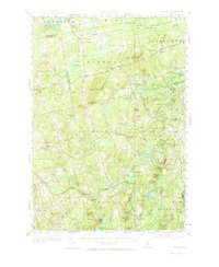
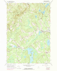
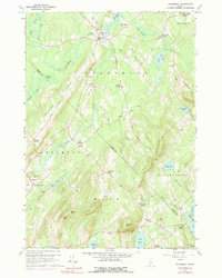
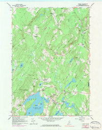
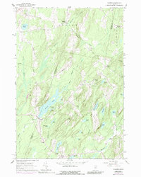
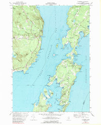
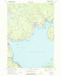
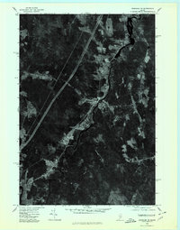
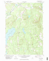
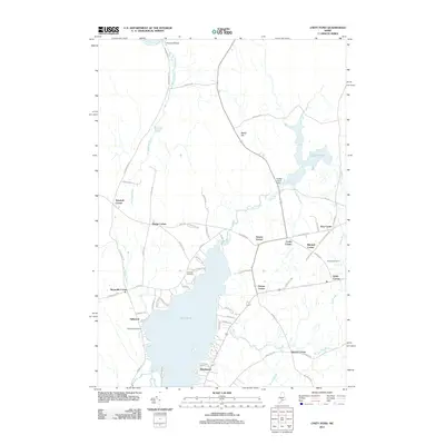
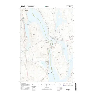
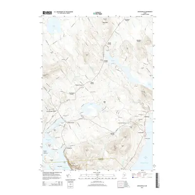
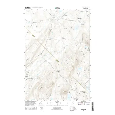
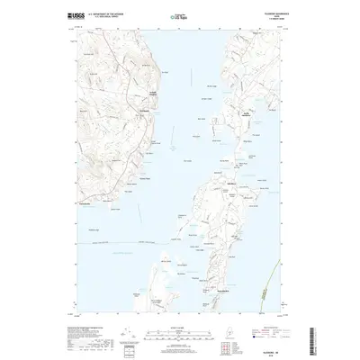
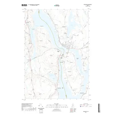
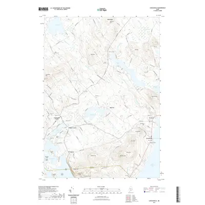
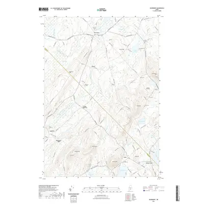
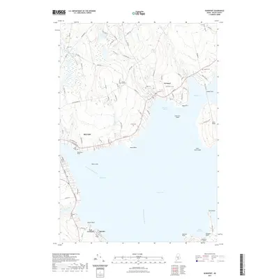
2024 Map of Burnham
USGS Topo · Published 2024About this map
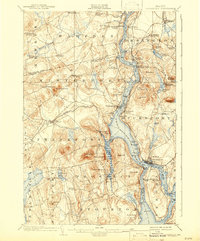
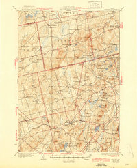
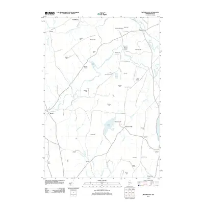
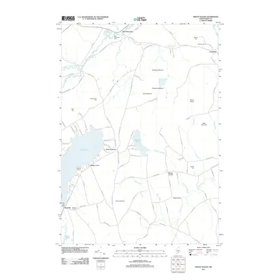
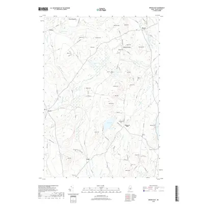
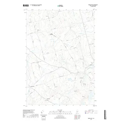
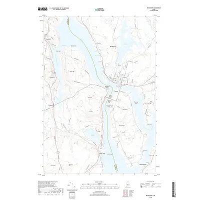
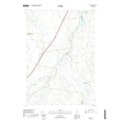
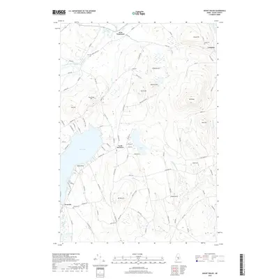
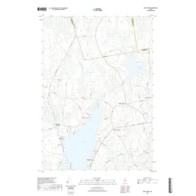
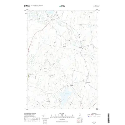
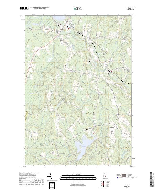
The Sebasticook River winds through the heart of this landscape, serving as a primary corridor for the central Maine settlements of Burnham, Pittsfield, and Clinton. The terrain is characterized by expansive lowlands such as Johnson Flat and several tributaries including Twentyfive Mile Stream and South Bog Stream. These water systems historically influenced the placement of early roads and homesteads, many of which are marked today by a high density of family-named burial grounds.
Find a feature on this map
46 named features on this map. Tap any name to fly to it.
Don’t see what you’re looking for? This feature index may not catch every label — zoom into the map to look around manually.
Map Details
Editions of this 2024 Burnham Map
This is the sole edition of this map. No revisions or reprints were ever made.
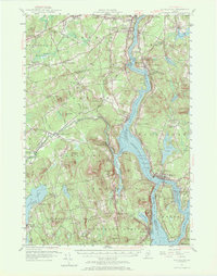
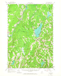
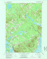
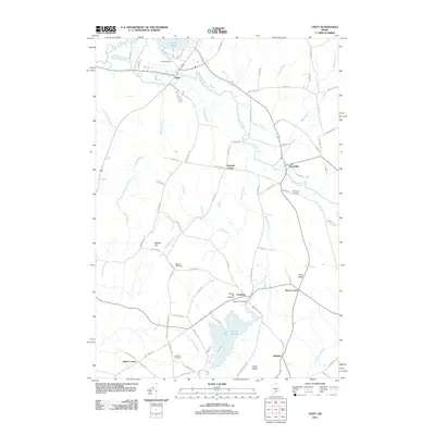
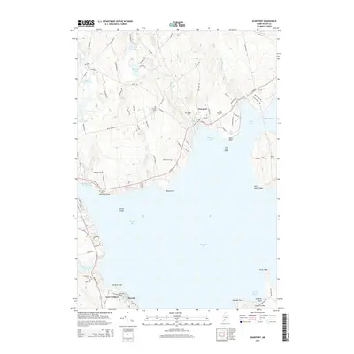
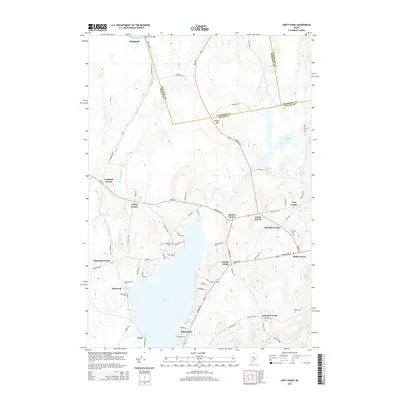
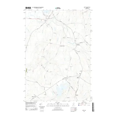
Historical Maps of Pittsfield Through Time
106 maps found

1900 Bucksport
Waldo County, ME
1902 Bucksport
Waldo County, ME

1902 Castine
Waldo County, ME
1904 Castine
Waldo County, ME
1916 Liberty
Waldo County, ME
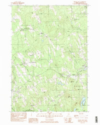
1926 Burnham
Waldo County, ME
1932 Brooks
Waldo County, ME
1941 Castine
Waldo County, ME

1942 Bucksport
Waldo County, ME

1942 Liberty
Waldo County, ME
1943 Castine
Waldo County, ME
1948 Bucksport
Waldo County, ME

1950 Liberty
Waldo County, ME
1955 Brooks
Waldo County, ME
1955 Bucksport
Waldo County, ME
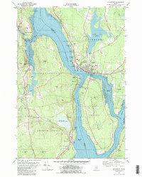
1957 Burnham
Waldo County, ME
1960 Lincolnville
Waldo County, ME
1960 Morrill
Waldo County, ME
1960 Searsmont
Waldo County, ME
1961 Liberty
Waldo County, ME
1961 Palermo
Waldo County, ME
1973 Islesboro
Waldo County, ME
1973 Searsport
Waldo County, ME
1975 Brooks SE
Waldo County, ME
1975 Brooks SW
Waldo County, ME

1975 Burnham NE
Waldo County, ME
1975 Burnham NW
Waldo County, ME

1975 Burnham SE
Waldo County, ME

1982 Brooks East
Waldo County, ME
1982 Brooks West
Waldo County, ME
1982 Bucksport
Waldo County, ME
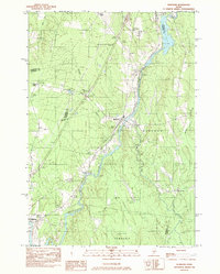
1982 Burnham
Waldo County, ME
1982 Mt Waldo
Waldo County, ME
1982 Unity Pond
Waldo County, ME
1982 Unity
Waldo County, ME
2000 Lincolnville
Waldo County, ME
2011 Brooks East
Waldo County, ME
2011 Brooks West
Waldo County, ME
2011 Bucksport
Waldo County, ME
2011 Burnham
Waldo County, ME
2011 Islesboro
Waldo County, ME
2011 Liberty
Waldo County, ME
2011 Lincolnville
Waldo County, ME
2011 Morrill
Waldo County, ME
2011 Mount Waldo
Waldo County, ME
2011 Palermo
Waldo County, ME
2011 Searsmont
Waldo County, ME
2011 Searsport
Waldo County, ME
2011 Unity Pond
Waldo County, ME
2011 Unity
Waldo County, ME
2014 Brooks East
Waldo County, ME
2014 Brooks West
Waldo County, ME
2014 Bucksport
Waldo County, ME
2014 Burnham
Waldo County, ME
2014 Islesboro
Waldo County, ME
2014 Liberty
Waldo County, ME
2014 Lincolnville
Waldo County, ME
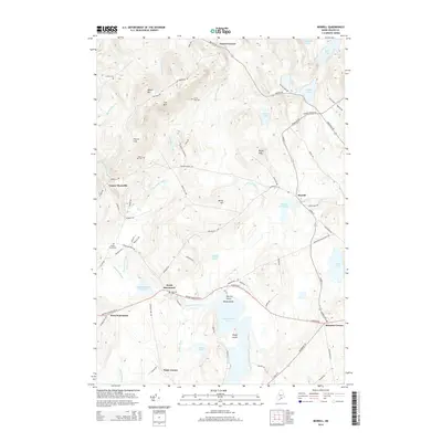
2014 Morrill
Waldo County, ME
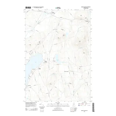
2014 Mount Waldo
Waldo County, ME
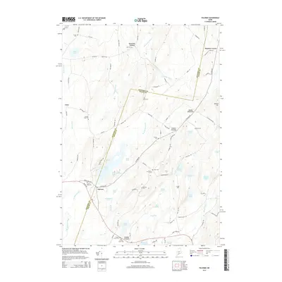
2014 Palermo
Waldo County, ME
2014 Searsmont
Waldo County, ME
2014 Searsport
Waldo County, ME
2014 Unity Pond
Waldo County, ME
2014 Unity
Waldo County, ME
2018 Brooks East
Waldo County, ME
2018 Brooks West
Waldo County, ME
2018 Bucksport
Waldo County, ME
2018 Burnham
Waldo County, ME
2018 Islesboro
Waldo County, ME
2018 Liberty
Waldo County, ME
2018 Lincolnville
Waldo County, ME
2018 Morrill
Waldo County, ME
2018 Mount Waldo
Waldo County, ME
2018 Palermo
Waldo County, ME
2018 Searsmont
Waldo County, ME
2018 Searsport
Waldo County, ME
2018 Unity Pond
Waldo County, ME
2018 Unity
Waldo County, ME
2021 Brooks East
Waldo County, ME
2021 Brooks West
Waldo County, ME
2021 Bucksport
Waldo County, ME
2021 Burnham
Waldo County, ME
2021 Islesboro
Waldo County, ME
2021 Liberty
Waldo County, ME
2021 Lincolnville
Waldo County, ME
2021 Morrill
Waldo County, ME
2021 Mount Waldo
Waldo County, ME
2021 Palermo
Waldo County, ME
2021 Searsmont
Waldo County, ME
2021 Searsport
Waldo County, ME
2021 Unity Pond
Waldo County, ME
2021 Unity
Waldo County, ME
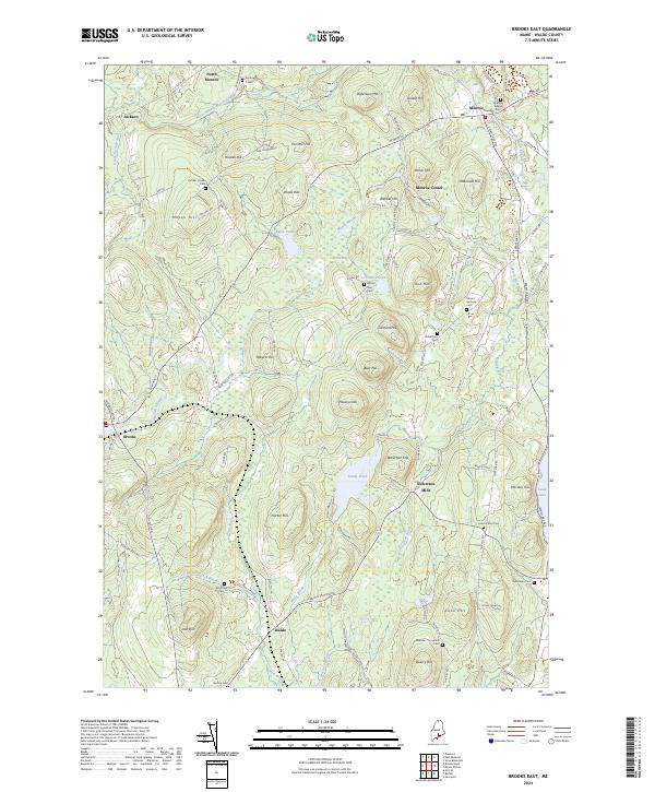
2024 Brooks East
Waldo County, ME
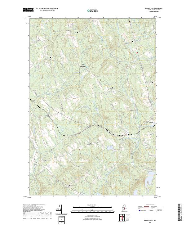
2024 Brooks West
Waldo County, ME
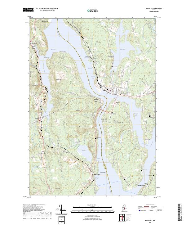
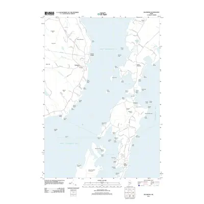
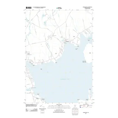
2024 Bucksport
Waldo County, ME
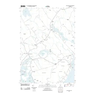
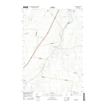
2024 Burnham
Waldo County, ME
2024 Islesboro
Waldo County, ME
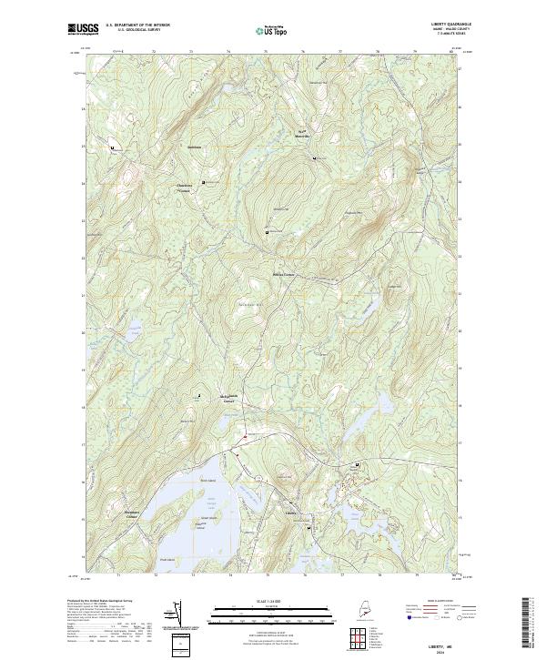
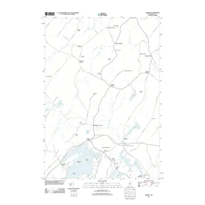
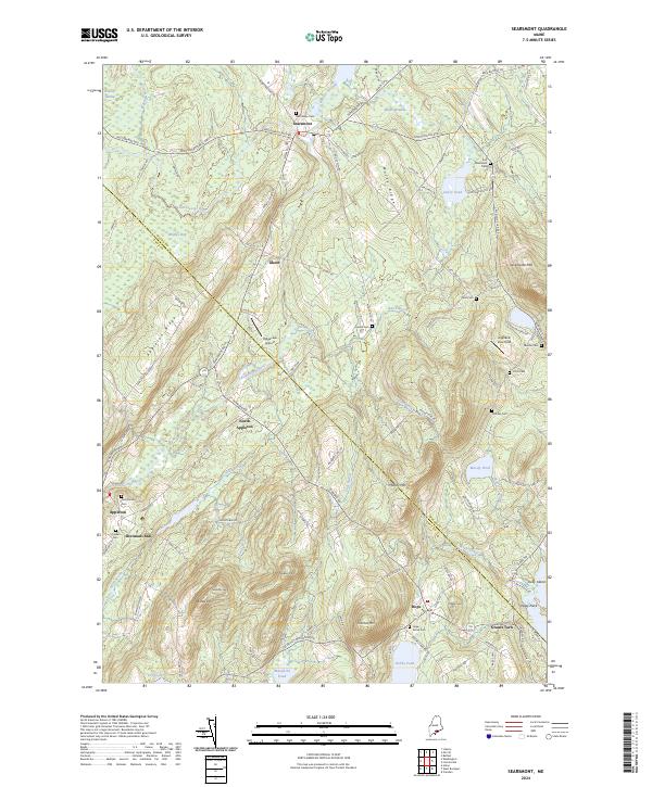
2024 Liberty
Waldo County, ME
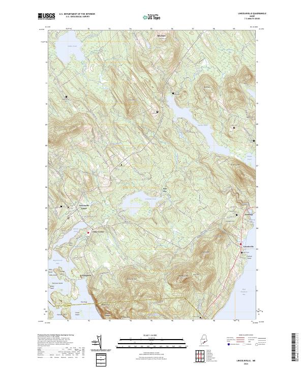
2024 Lincolnville
Waldo County, ME
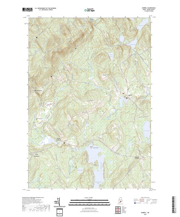
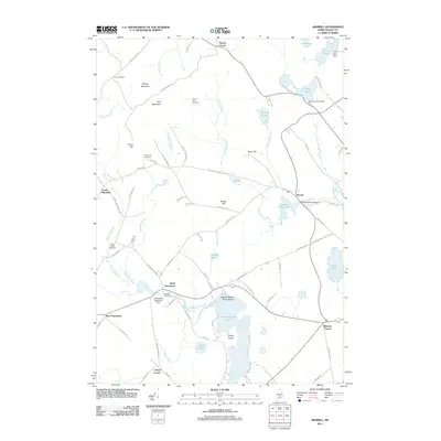
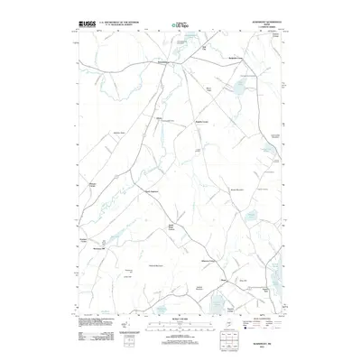
2024 Morrill
Waldo County, ME
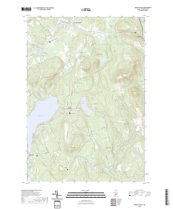
2024 Mount Waldo
Waldo County, ME
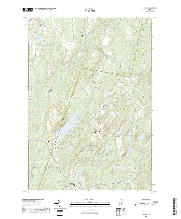
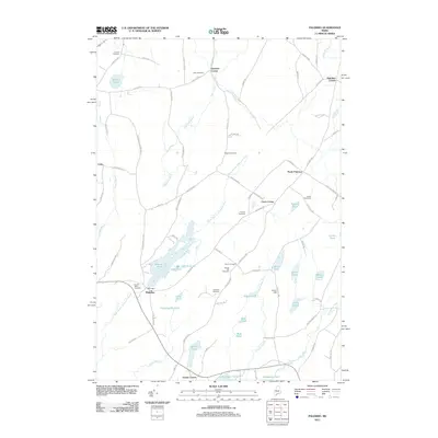
2024 Palermo
Waldo County, ME
2024 Searsmont
Waldo County, ME
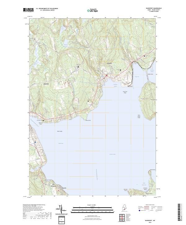
2024 Searsport
Waldo County, ME
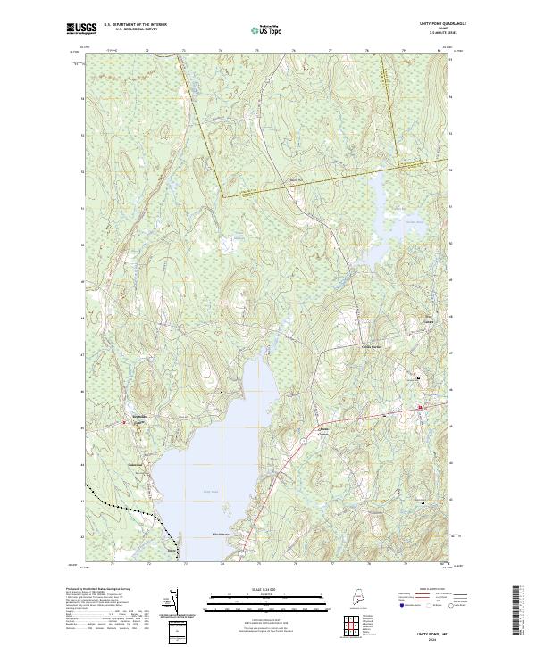
2024 Unity Pond
Waldo County, ME
2024 Unity
Waldo County, ME