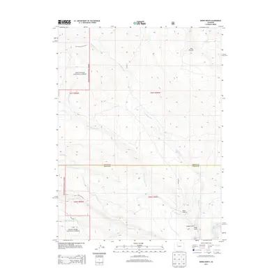
2013 Map of Burns North
USGS Topo · Published 2013About this map
The White River National Forest defines the western terrain of this 2013 survey, where high-elevation landmarks like King Mountain and Derby Mesa overlook a complex network of canyons and gulches. The landscape is marked by the descent of Sunnyside Creek and North Fork Cedar Creek as they drain toward the southern boundary. Infrastructure is largely focused on water management and access, featuring the Winslow Reservoir in the north and the S Derby Ditch and Derby Mesa Loop near the southern boundary. This map reveals the transition from the high forest plateaus to the river valley, terminating at the Colorado River in the southeast corner. Named points of interest like Hangmans Rock and Pump Gulch offer specific locational data for researchers mapping the historical geography and trail networks of the Routt and Eagle County border.
Find a feature on this map
26 named features on this map. Tap any name to fly to it.
Don’t see what you’re looking for? This feature index may not catch every label — zoom into the map to look around manually.
Map Details
Editions of this 2013 Burns North Map
This is the sole edition of this map. No revisions or reprints were ever made.
Other maps of this area

1927 · Glenwood Springs
USGS Topo · 1:125,000

1930 · Glenwood Springs
USGS Topo · 1:125,000

1954 · Craig
USGS Topo · 1:250,000

1957 · Craig
USGS Topo · 1:250,000

1957 · Leadville
USGS Topo · 1:250,000

1958 · Craig
USGS Topo · 1:250,000

1959 · Leadville
USGS Topo · 1:250,000

1960 · Leadville
USGS Topo · 1:250,000

1960 · Craig
USGS Topo · 1:250,000

1962 · Leadville
USGS Topo · 1:250,000