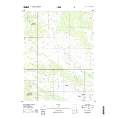
2019 Map of Burns North
USGS Topo · Published 2019About this map
White River National Forest covers much of the high ground in this section of Eagle and Routt Counties, where the terrain falls away toward the Colorado River in the southeast. The small community of Burns sits near the riverbanks, serving as a focal point for a landscape defined by ranching and high-altitude water management. Notable features like the S Derby Ditch and Derby Mesa indicate the historical importance of irrigation in this arid environment, while drainage systems such as Sunnyside Cr and Cabin Cr carve through the uplands. Prominent landmarks such as King Mtn and the ominous Hangmans Rock provide fixed points for navigating the remote back-country roads, including Co RD 3 and Sunnyside Rd, which follow the natural contours of gulches like Pump Gulch.
Find a feature on this map
28 named features on this map. Tap any name to fly to it.
Don’t see what you’re looking for? This feature index may not catch every label — zoom into the map to look around manually.
Map Details
Editions of this 2019 Burns North Map
This is the sole edition of this map. No revisions or reprints were ever made.
Other maps of this area

1927 · Glenwood Springs
USGS Topo · 1:125,000

1930 · Glenwood Springs
USGS Topo · 1:125,000

1954 · Craig
USGS Topo · 1:250,000

1957 · Craig
USGS Topo · 1:250,000

1957 · Leadville
USGS Topo · 1:250,000

1958 · Craig
USGS Topo · 1:250,000

1959 · Leadville
USGS Topo · 1:250,000

1960 · Leadville
USGS Topo · 1:250,000

1960 · Craig
USGS Topo · 1:250,000

1962 · Leadville
USGS Topo · 1:250,000