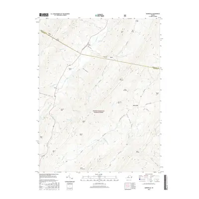
2016 Map of Burnsville
USGS Topo · Published 2016About this map
Bolar and Burnsville sit within a landscape defined by the parallel ridges of the Alleghenies, where the Jackson River cuts through the western valleys. This mid-2010s survey details the high-altitude topography of Jack Mountain and Warm Springs Mtn, illustrating how human activity follows the narrow corridors of Big Valley and Little Valley. Genealogy and local history researchers will find several family-named landmarks and burial sites, including Stony Run Cem, Cleek Cem, and Big Valley Cem. The map also documents the remote Singleton Airport and the extensive reach of the George Washington National Forest across the county line between Bath and Highland. The presence of Bolar Spring and Big Pond highlights the importance of water sources in this mountainous terrain, while the network of unpaved paths like Muddy Rd and Tower Hill Rd provides a record of rural access to the ridges.
Find a feature on this map
59 named features on this map. Tap any name to fly to it.
Don’t see what you’re looking for? This feature index may not catch every label — zoom into the map to look around manually.
Map Details
Editions of this 2016 Burnsville Map
This is the sole edition of this map. No revisions or reprints were ever made.
Other maps of this area

1901 · Monterey
USGS Topo · 1:125,000

1922 · Cass
USGS Topo · 1:48,000

1923 · Warm Springs
USGS Topo · 1:48,000

1924 · Cass
USGS Topo · 1:62,500

1926 · Warm Springs
USGS Topo · 1:62,500

1930 · Warm Springs Run
USGS Topo · 1:24,000

1933 · Warm Springs Run
USGS Topo · 1:31,680

1941 · Monterey
USGS Topo · 1:62,500

1944 · Monterey
USGS Topo · 1:62,500

1946 · Warm Springs
USGS Topo · 1:62,500