
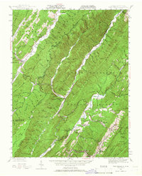
1946 Map of Warm Springs
USGS Topo · Published 1962About this map
Warm Springs and Hot Springs anchor the eastern slopes of this mid-century survey, revealing the established thermal resort landscape of Bath County. The terrain is dominated by the parallel ridges of Allegheny Mountain and Warm Springs Mountain, with much of the land protected within the George Washington National Forest. Between these heights, the Jackson River and Back Creek carve deep valleys that support small agricultural settlements like Mountain Grove and Bacova.
Find a feature on this map
145 named features on this map. Tap any name to fly to it.
Don’t see what you’re looking for? This feature index may not catch every label — zoom into the map to look around manually.
Map Details
Editions of this 1946 Warm Springs Map
2 editions found
Other maps of this area

1887 · Lewisburg
USGS Topo · 1:125,000

1891 · Lewisburg
USGS Topo · 1:125,000

1891 · Huntersville
USGS Topo · 1:125,000

1894 · Huntersville
USGS Topo · 1:125,000

1894 · Natural Bridge
USGS Topo · 1:125,000

1901 · Monterey
USGS Topo · 1:125,000

1921 · Callaghan
USGS Topo · 1:48,000

1922 · Cass
USGS Topo · 1:48,000

1923 · Marlinton
USGS Topo · 1:48,000

1923 · Warm Springs
USGS Topo · 1:48,000