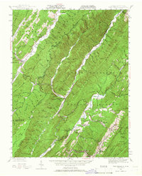
1946 Map of Warm Springs
USGS Topo · Published 1966About this map
Allegheny Mountains ridge-and-valley terrain dominates this mid-century survey, which straddles the border between Virginia and West Virginia. The landscape is defined by the parallel elevations of Huntersville Mountain and Warm Springs Mountain, with the Jackson River cutting a significant course through the central valleys. This era shows a network of established mountain communities and cultural landmarks, from the thermal resort area of Hot Springs to the smaller settlements of Mountain Grove and Minnehaha Springs.
Find a feature on this map
69 named features on this map. Tap any name to fly to it.
Don’t see what you’re looking for? This feature index may not catch every label — zoom into the map to look around manually.
Map Details
Editions of this 1946 Warm Springs Map
2 editions found

Other maps of this area

1887 · Lewisburg
USGS Topo · 1:125,000

1891 · Lewisburg
USGS Topo · 1:125,000

1891 · Huntersville
USGS Topo · 1:125,000

1894 · Huntersville
USGS Topo · 1:125,000

1894 · Natural Bridge
USGS Topo · 1:125,000

1901 · Monterey
USGS Topo · 1:125,000

1921 · Callaghan
USGS Topo · 1:48,000

1922 · Cass
USGS Topo · 1:48,000

1923 · Marlinton
USGS Topo · 1:48,000

1923 · Warm Springs
USGS Topo · 1:48,000