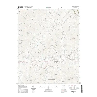
2016 Map of Burnsville
USGS Topo · Published 2016About this map
Burnsville serves as the central hub of this mountain landscape, positioned south of the North Toe River and surrounded by numerous high ridges and hollows. The settlement pattern reveals traditional Appalachian mountain life, with small communities like Day Book, Riverside, and Windom nestled along the primary creek drainages. Significant family history is preserved through the distribution of small burial grounds, including the Clearmont Cem, Edney Cem, and Roland Cem, which dot the hillsides away from the main town center. To the south, the terrain rises into the Pisgah National Forest, where features such as Mount Mitchell and Ferguson Hill overlook the valleys. The map's detailed road network, featuring names like Confederate Dr, Upper Pigpen Rd, and Smith Johnson Rd, illustrates the deep-rooted local heritage and the way private landholdings and public forest boundaries intersect in Yancey County.
Find a feature on this map
187 named features on this map. Tap any name to fly to it.
Don’t see what you’re looking for? This feature index may not catch every label — zoom into the map to look around manually.
Map Details
Editions of this 2016 Burnsville Map
This is the sole edition of this map. No revisions or reprints were ever made.
Other maps of this area

1891 · Roan Mountain
USGS Topo · 1:125,000

1894 · Roan Mountain
USGS Topo · 1:125,000

1900 · Mount Mitchell
USGS Topo · 1:125,000

1902 · Mount Mitchell
USGS Topo · 1:125,000

1904 · Roan Mountain
USGS Topo · 1:125,000

1934 · Micaville
USGS Topo · 1:24,000

1934 · Parts Of Celo And Black Brothers
USGS Topo · 1:24,000

1934 · Bakersville
USGS Topo · 1:24,000

1935 · Black Brothers
USGS Topo · 1:24,000

1935 · Chestoa
USGS Topo · 1:24,000