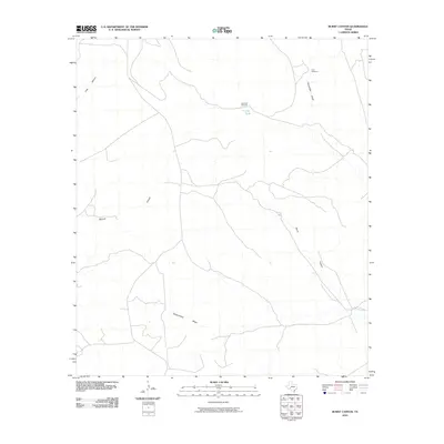
2010 Map of Burnt Canyon
USGS Topo · Published 2010About this map
Burnt Canyon and the surrounding drainages of Crockett County define this arid landscape in the early 21st century. The map illustrates a network of ephemeral watercourses and deep-set draws, including Escondido Draw and Government Draw, which serve as the primary topographic markers for this remote region. Evidence of ranching and land management is visible through the placement of water-sourcing infrastructure, such as Clay Tank Windmill, East Windmill, and the Clay Tank reservoir.
Find a feature on this map
8 named features on this map. Tap any name to fly to it.
Don’t see what you’re looking for? This feature index may not catch every label — zoom into the map to look around manually.
Map Details
Editions of this 2010 Burnt Canyon Map
This is the sole edition of this map. No revisions or reprints were ever made.
Other maps of this area

1929 · Sheffield
USGS Topo · 1:125,000

1954 · Sonora
USGS Topo · 1:250,000

1958 · Sonora
USGS Topo · 1:250,000

1967 · Burnt Canyon
USGS Topo · 1:24,000

1967 · Pikes Peak
USGS Topo · 1:24,000

1967 · Fort Lancaster
USGS Topo · 1:24,000

1967 · Bachelor Hill
USGS Topo · 1:24,000

1967 · Dead Man Canyon
USGS Topo · 1:24,000

1967 · Mitchell Canyon
USGS Topo · 1:24,000

1970 · Howards Well
USGS Topo · 1:24,000