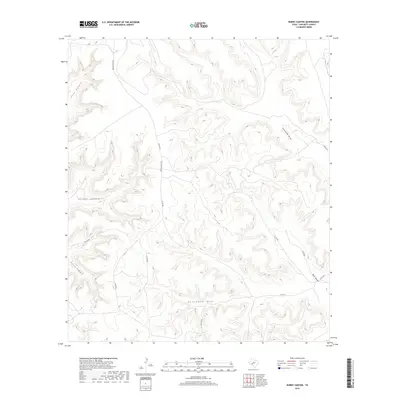
2019 Map of Burnt Canyon
USGS Topo · Published 2019About this map
Burnt Canyon and the surrounding plateau of Crockett County characterize this modern-era survey of West Texas ranch land. The landscape is defined by an intricate network of drainage systems, including First Canyon, Second Canyon, and Third Canyon, which cut through the high ground in the western half of the quadrangle. In the north, Clay Tank represents a critical water management feature for local land use, while broader natural pathways like Government Draw and Escondido Draw dominate the central and eastern sections. A network of rural routes, including Hoover Divide Rd and Dunlap Rd, provides access across the ridgelines and draws, illustrating the modern connectivity of this remote geographic area.
Find a feature on this map
14 named features on this map. Tap any name to fly to it.
Don’t see what you’re looking for? This feature index may not catch every label — zoom into the map to look around manually.
Map Details
Editions of this 2019 Burnt Canyon Map
This is the sole edition of this map. No revisions or reprints were ever made.
Other maps of this area

1929 · Sheffield
USGS Topo · 1:125,000

1954 · Sonora
USGS Topo · 1:250,000

1958 · Sonora
USGS Topo · 1:250,000

1967 · Burnt Canyon
USGS Topo · 1:24,000

1967 · Pikes Peak
USGS Topo · 1:24,000

1967 · Fort Lancaster
USGS Topo · 1:24,000

1967 · Bachelor Hill
USGS Topo · 1:24,000

1967 · Dead Man Canyon
USGS Topo · 1:24,000

1967 · Mitchell Canyon
USGS Topo · 1:24,000

1970 · Howards Well
USGS Topo · 1:24,000